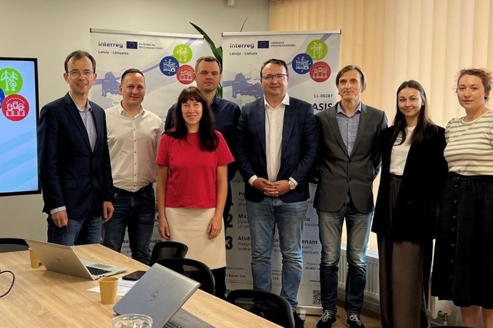
On 31 July 2025, an event organised as part of the international OASIS project took place in Riga, Latvia: a workshop for stakeholders dedicated to testing and discussing pilot solutions.
The workshop was organised as part of the OASIS project (Optimising Access to Services through Integrated EO and AI Solutions for Innovative Societies), which is being implemented under the Interreg VI-A Latvia-Lithuania Cooperation Programme 2021-2027. The project aims to streamline agricultural support administration, reduce control burdens, and implement advanced digital solutions based on satellite data and artificial intelligence (AI). It is being implemented by the National Paying Agency (NPA), Lithuania, the lead partner, and the Rural Support Service (RSS), Latvia.
On 31 July, the international project OASIS workshop was held in Riga, bringing together representatives of Lithuanian and Latvian paying agencies, agricultural and environmental institutions, and farmers’ organizations. The aim of the event was to share experience on how satellite imagery can be used to help solve practical challenges in agriculture and the public sector.
During the event, participants discussed how the use of remote sensing data contributes to a more accurate assessment of cultivated fields, reduces the administrative burden, and can replace or supplement on-site checks. Specific examples were given of how such data is already being used to make the field declaration and control process more efficient.
The Latvian Paying Agency shared its experience on how satellite images can be used to determine the exact boundaries of fields, monitor the fulfilment of mowing obligations, and identify discrepancies. One of the innovative solutions is the possibility for farmers to correct their applications themselves after receiving a notification of a discrepancy based on satellite imagery. These images are freely available on the public map www.karte.lad.gov.lv.
The seminar presented innovative technological solutions that allow the automated determination of field boundaries and enable the use of satellite data to monitor forest clearance sites, solar power plants and ship movements. Therefore, satellite data can be used in a variety of fields, including agriculture.
A summary of the survey results presented at the workshop showed that farmers consider satellite images to be a useful tool for monitoring field conditions and justifying their activities. While some farmers lack the knowledge or time to engage new technologies, many indicated that they would use these tools if they were more accessible. Zonal maps, which aid the planning of fertilisation, sowing or spraying, are particularly valued. Almost half of those surveyed would be willing to try OASIS solutions on their farms.
The OASIS project continues to seek partners and invites organizations, wishing to exploit the opportunities offered by satellite data in their activities, to join the initiative.
📧 ausrius.kucinskas@nma.lt or urte.drungelaite@nma.lt
More information about the project can be found here: https://latlit.eu/theprojects/oasis/