Lake Plateliai has become the focus of detailed investigations aimed at studying its unique underwater geological formations and creating a comprehensive map of these features. The main goal of the research is to preserve the geological heritage beneath the water surface by preparing protection recommendations based on scientific findings.
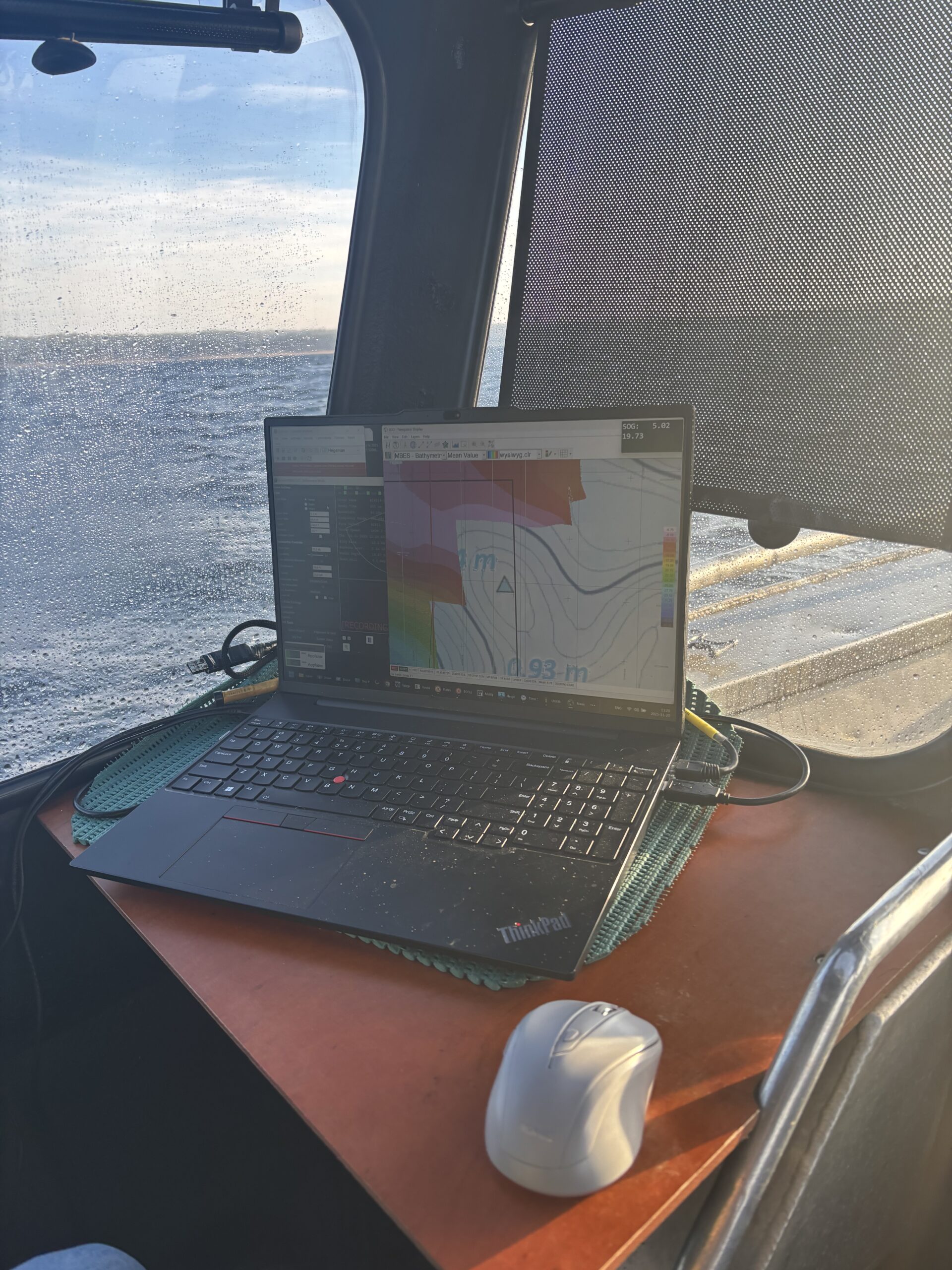
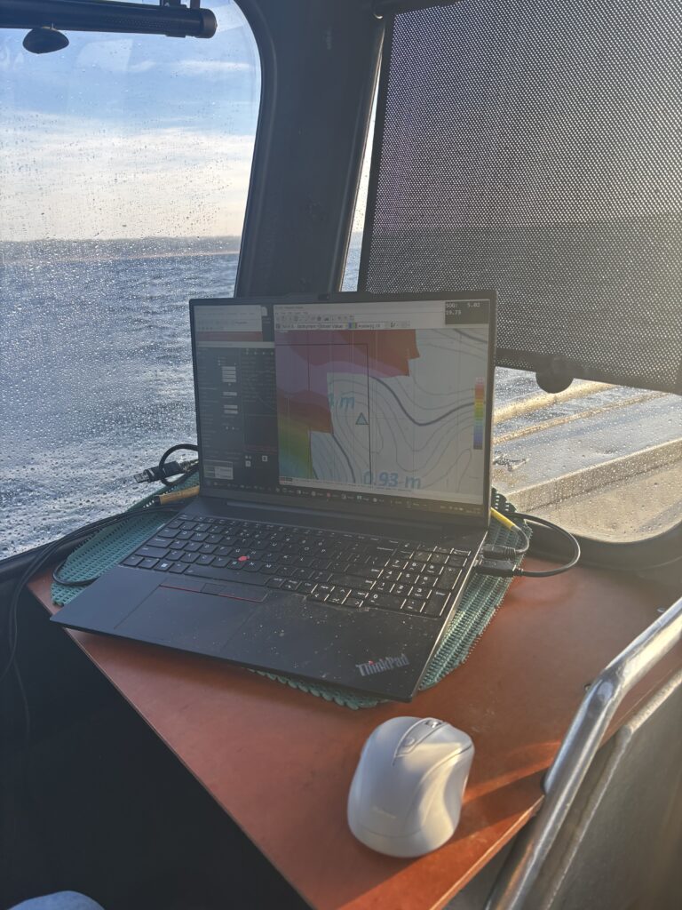
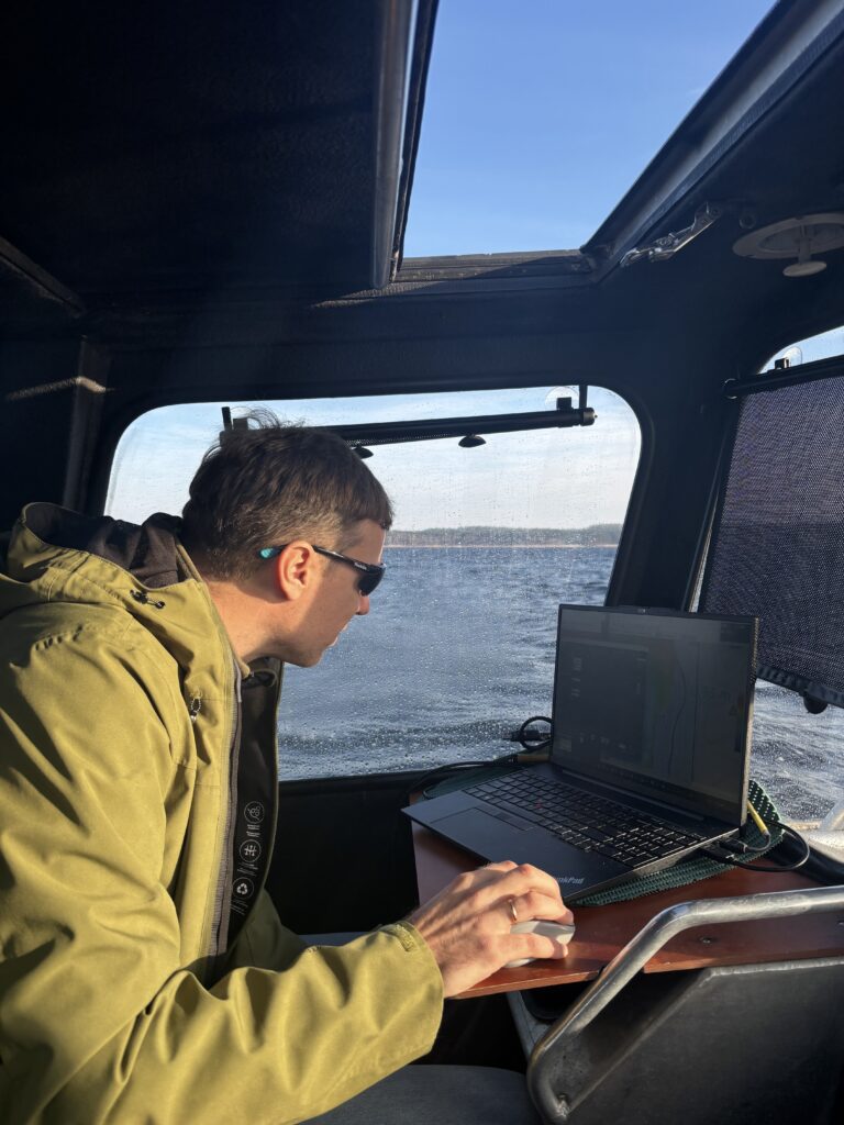
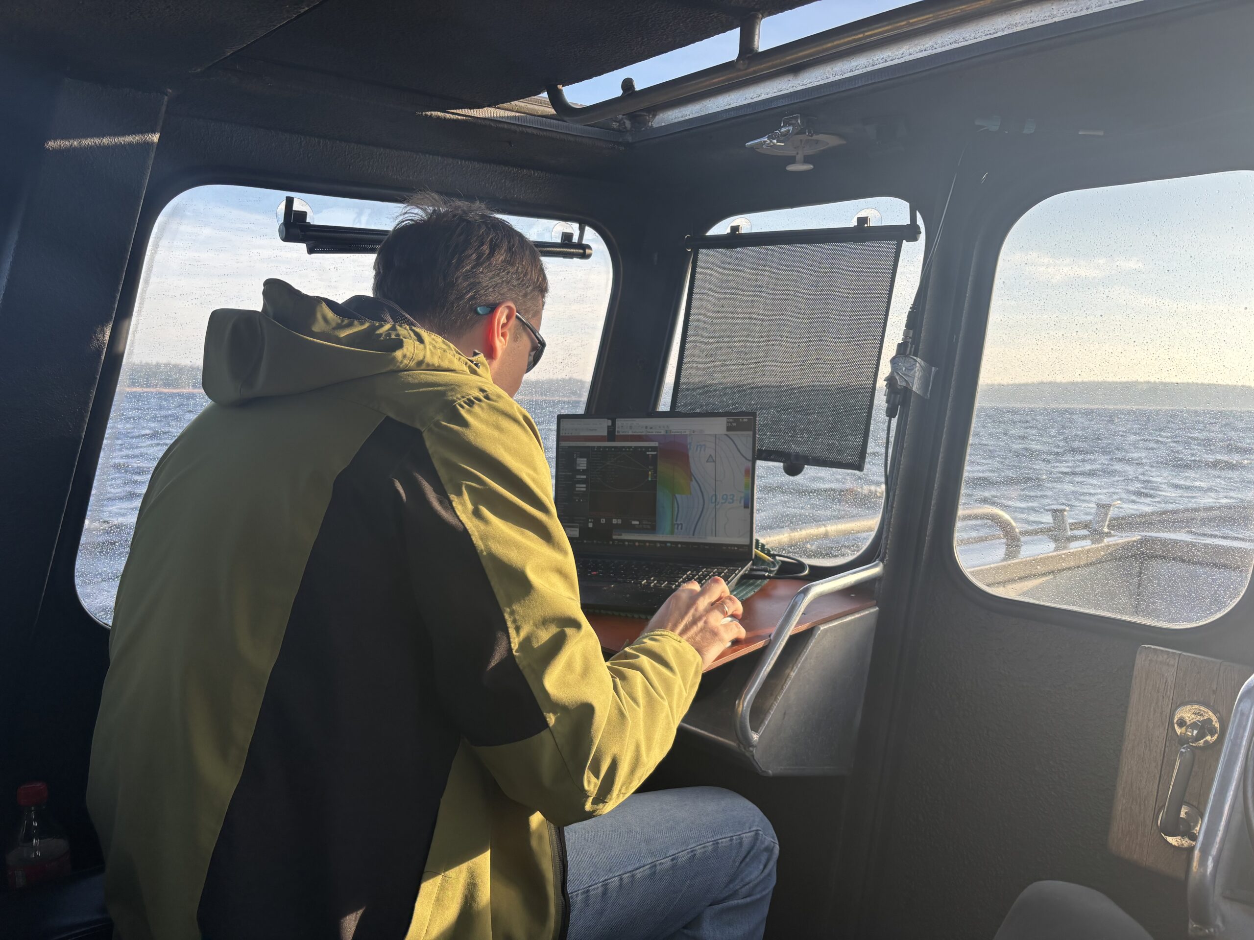
On 20 November 2025, as part of the “GEOSITES” project, extensive morphological surveys were launched in Lake Plateliai. These surveys are designed to precisely identify changes and irregularities in the lakebed relief, determine sediment accumulation zones and areas where changes may be occurring, and develop a detailed map of geological heritage formations. The planned studies will enable a comprehensive assessment of the lake’s condition and provide insights needed to predict its geological and ecological development more accurately in the future.
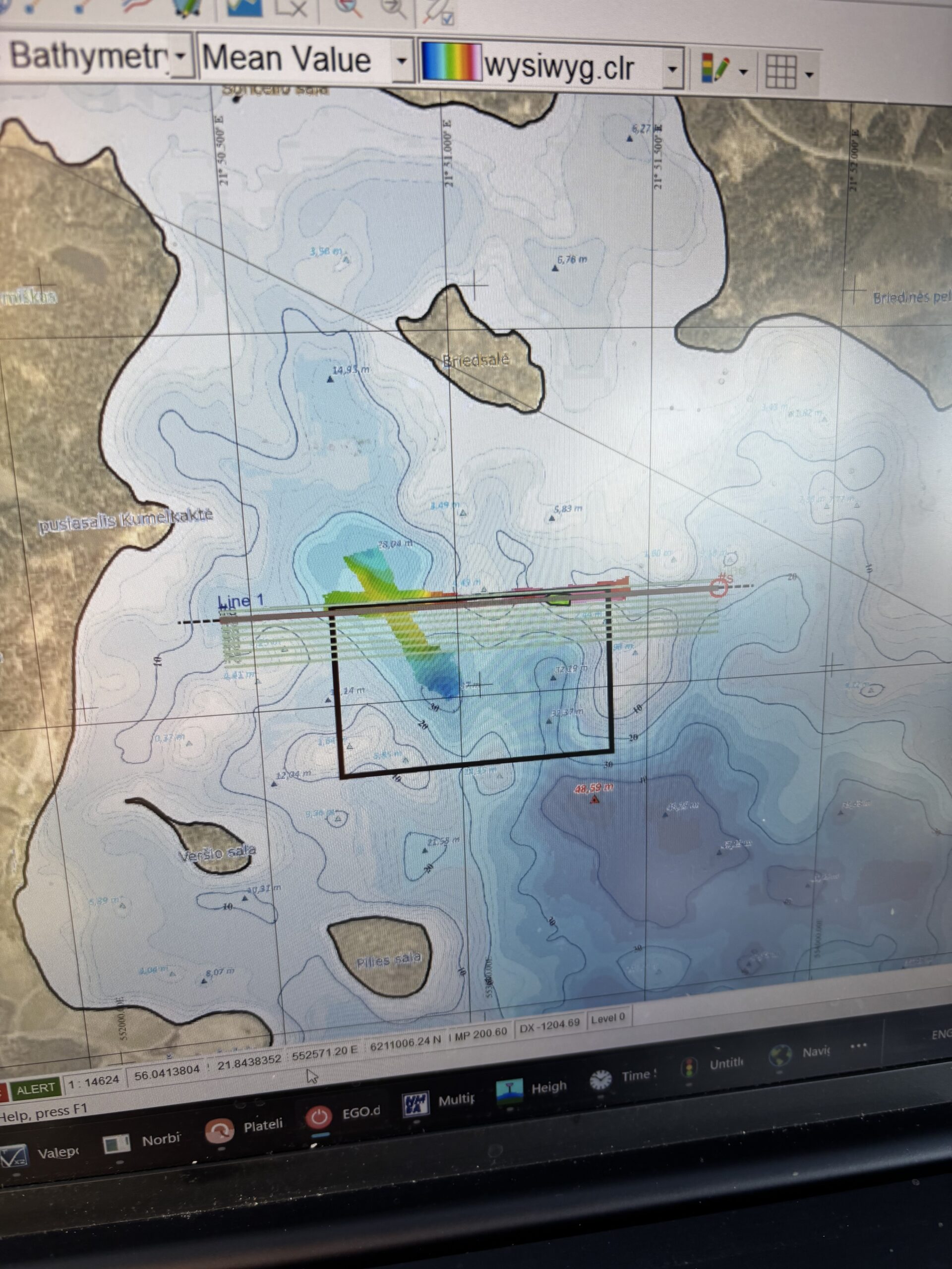
The research team employed modern bathymetric technology, including a multibeam echosounder for high-precision lakebed scanning, GPS systems ensuring accurate measurement location, and specialised data analysis software for generating three-dimensional models of the lakebed.
The collected data will be used to create a highly detailed 3D map of the surveyed area of the Lake Plateliai bottom. The model will reveal depressions, slopes, irregularities, and potential sediment accumulation zones. Such information is valuable not only for scientific research but also essential for ensuring sustainable management and protection of the lake.

