![]()
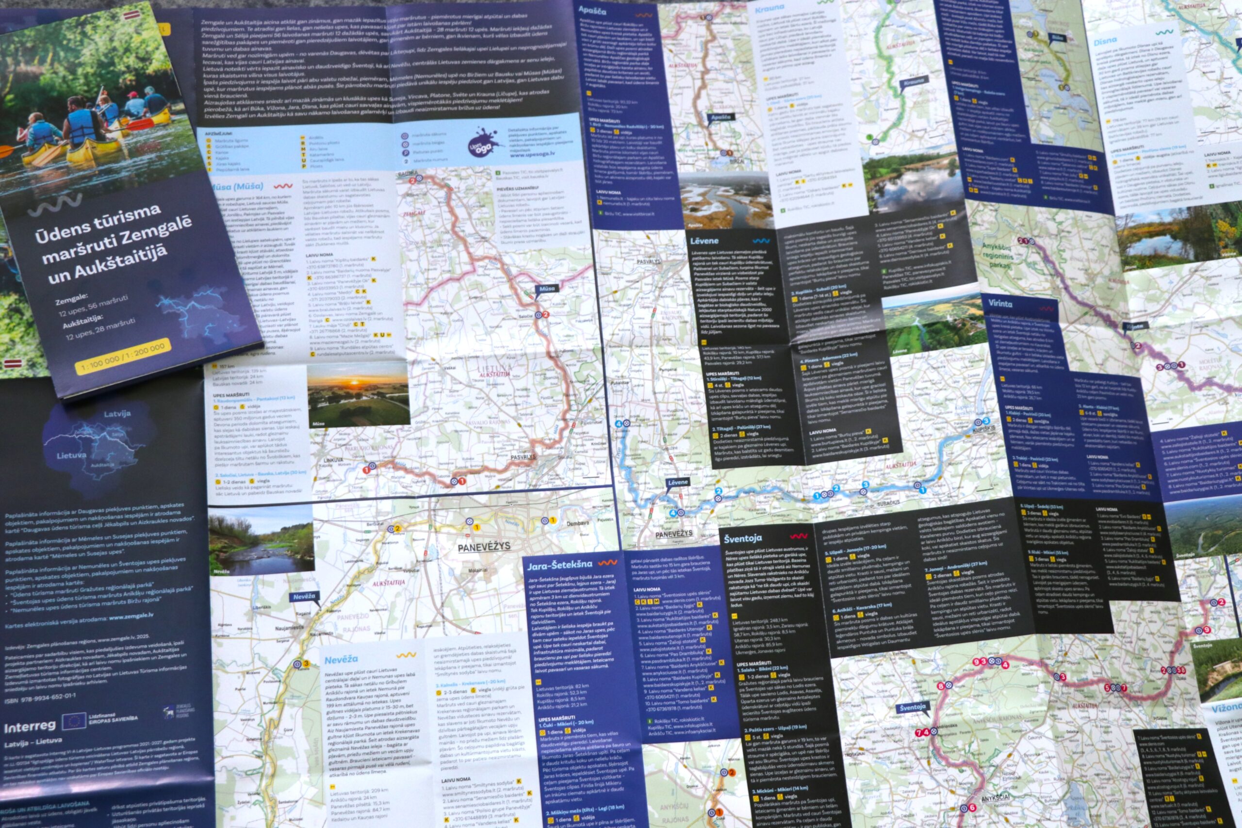
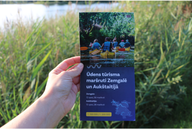
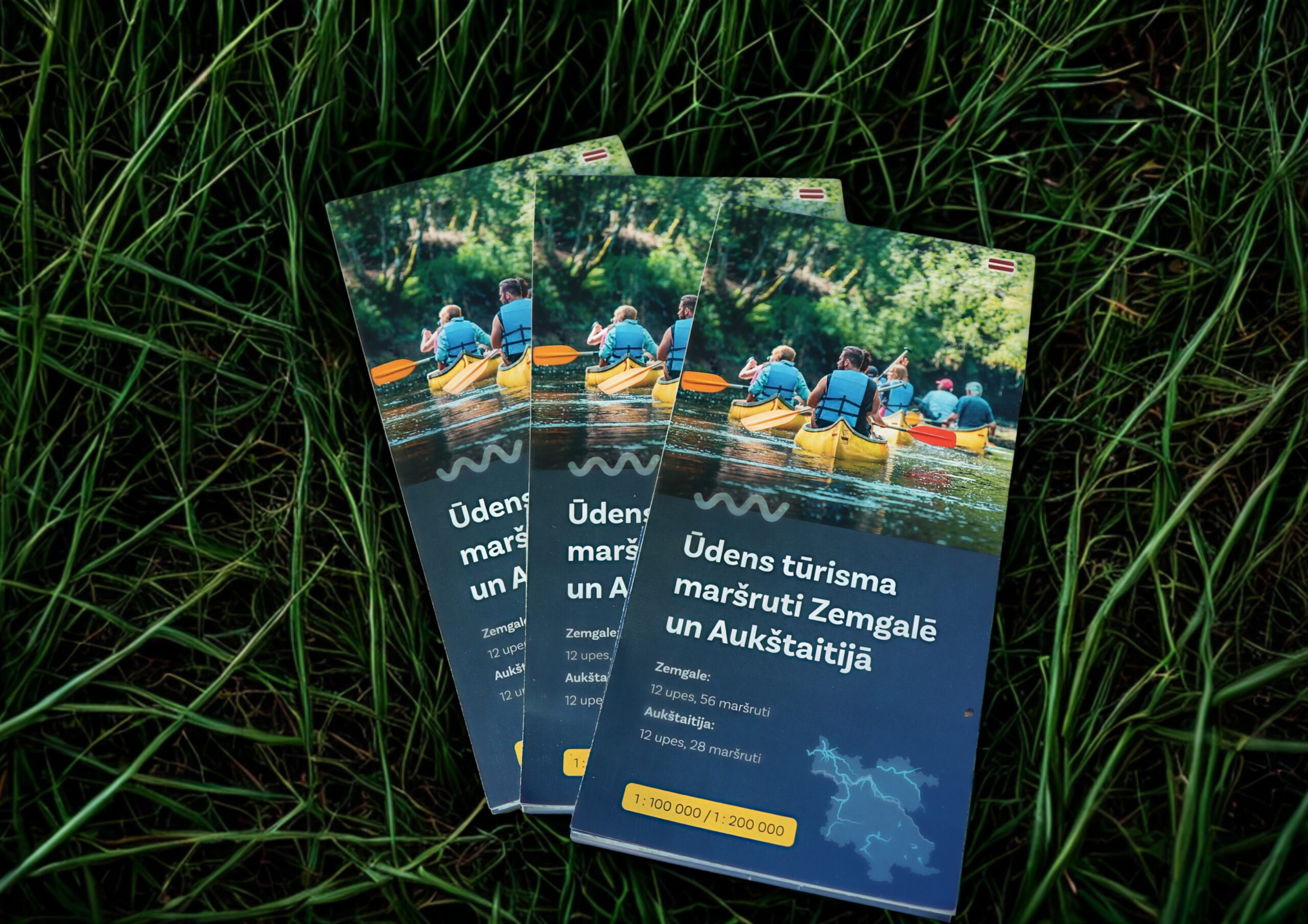
Zemgale Planning Region, in cooperation with the partners of the “WaterTour” project, has developed a unique tourism map showcasing the rich water tourism opportunities in Zemgale and Aukštaitija (Northern Lithuania). The map features a total of 84 routes along 24 rivers—56 routes in 12 rivers in Zemgale and 28 routes in 12 rivers in Aukštaitija—inviting you to explore both well-known and lesser-known water routes.
The water tourism map offers a variety of routes—from calm sections for leisurely trips to more adventurous options for nature lovers and experienced paddlers. It includes major rivers such as the Daugava, Lielupe, and Mēmele, as well as quieter, scenic rivers like Suseja, Vircava, Platone, and Svēte. Some routes cross the Latvia–Lithuania border, allowing travelers to experience the nature and cultural landscapes of both countries in a single journey. The map is available in Latvian, Lithuanian, and English, in both digital and printed formats. The digital map is available here: https://www.zemgale.lv/lv/udens-turisma-piedavajums-zemgale-un-aukstaitija
More information in the original publication: https://www.zemgale.lv/lv/jaunums/zemgale-un-aukstaitija-aicina-atklat-jaunu-udensturisma-karti-ar-84-marsrutiem-24-upes
The project is funded by the Interreg VI-A Latvia-Lithuania Program for 2021–2027. The Zemgale Planning Region is solely responsible for the content of this information, which does not necessarily reflect the opinion of the European Union.