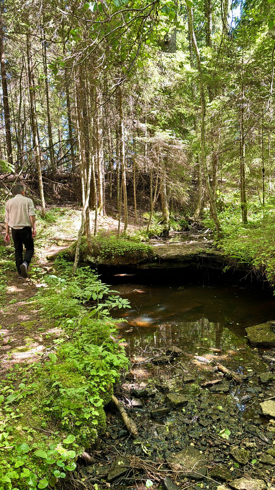
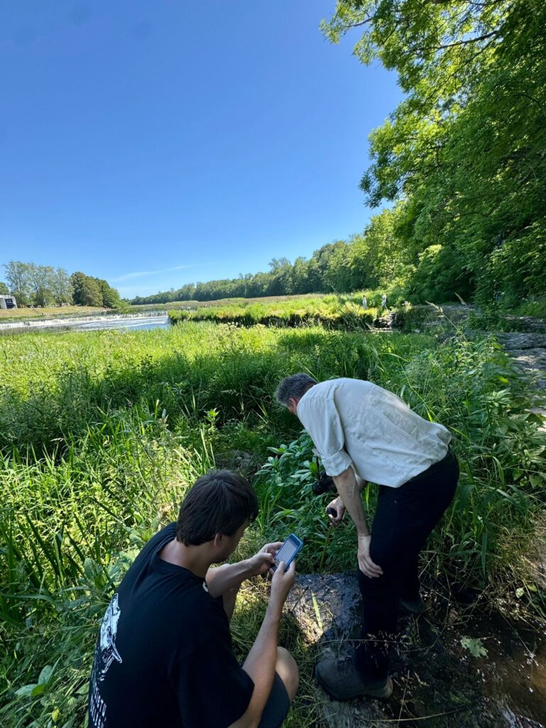
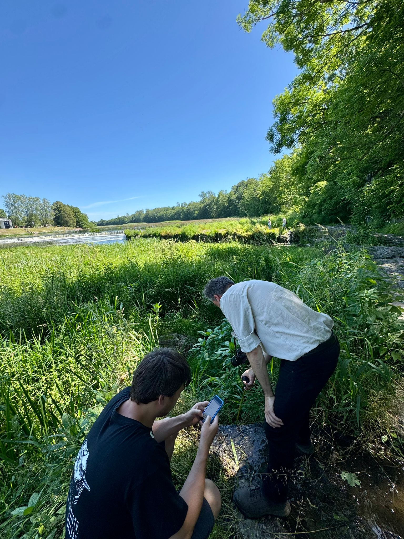
On 2 July 2025, the Kurzeme Planning Region team conducted a field visit to the Abava Valley and Kuldīga Municipality within the framework of the project LL-00244 “Geosites”. The project aims to improve the protection and conservation of geological heritage by carrying out underwater research, the inventory and categorisation of terrestrial geological sites, and by enhancing management and educational approaches related to geoheritage.
The main objectives of the fieldwork were to:
-
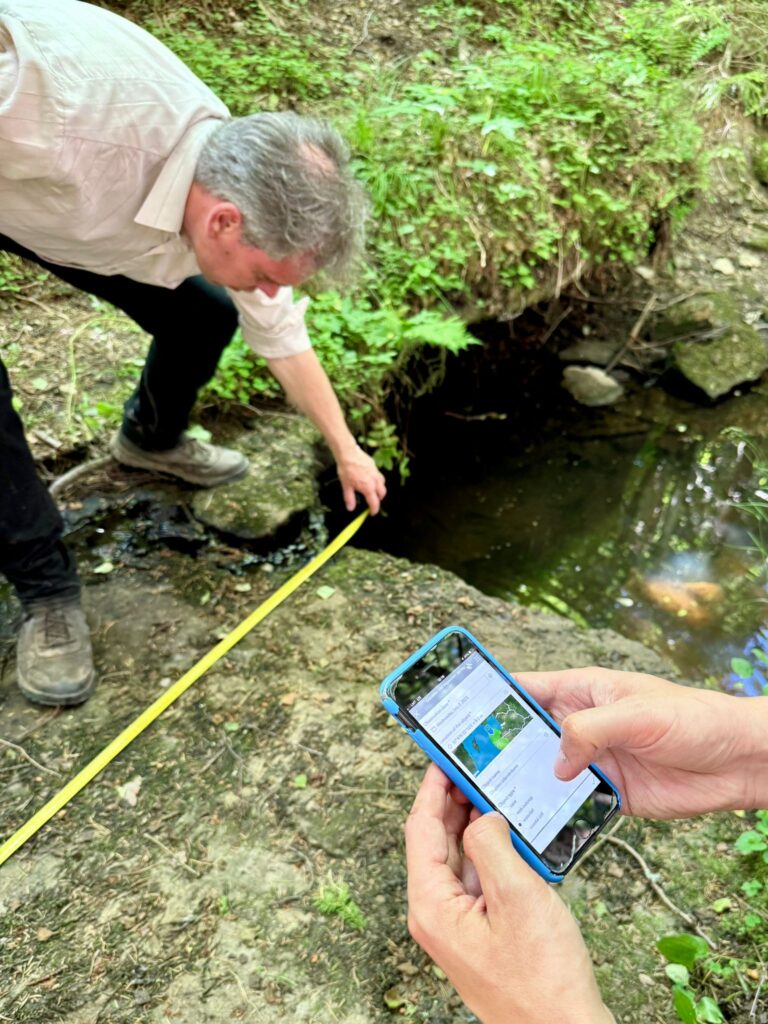
collect up-to-date and missing data for the Geosites GIS database,
-
verify or determine geographic coordinates,
-
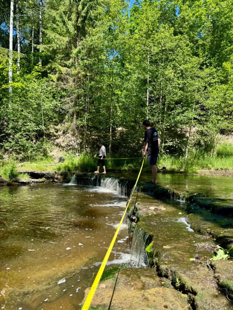
perform on-site measurements, and
-
photograph and document the geological structures.
An additional goal was to test and evaluate the project-developed checklist (survey) for on-site visits of the geological formations. Its functionality, clarity, and practicality were assessed in real field conditions to identify necessary improvements for future data collection and database updates.
During the field visit, the team surveyed the following geological sites:
- Lašupīte Dolomite Outcrop and Rapids – dolomite outcrop up to 2 m high; total drop height only 0.3 m, does not meet waterfall criteria; gravel bar downstream reduces visible height.
- Elciņu Valka Waterfall – 1.2 m high; located in a bend of the Abava River, approximately 1 km downstream from the Valgale confluence; precise coordinates recorded.
- Oļupīte Waterfall – during dry periods, the flow is only 0.2 m wide; a significantly enlarged swallow hole observed (30 × 75 cm, 1.1 m deep).
- Stream Waterfall near Venta Rapid – small but distinct vertical drop (1.2 m high, 0.55 m wide).
- Riežupe Waterfall – current width 13.2 m (potentially up to 18.5 m); height 0.6 m, with a similarly deep plunge pool beneath.
Based on the field observations, the team concluded that adjustments to the existing data entry form are needed to facilitate more efficient data processing and ensure consistency when updating the GIS database. These improvements will significantly support the continuation of systematic geological site documentation in the region.
By combining hands-on data collection with expert knowledge and digital mapping tools, the Geosites project contributes to a deeper understanding of Latvia’s geoheritage. It supports the long-term preservation and sustainable management of both underwater and terrestrial geological sites, while also promoting public education and awareness of the country’s valuable natural assets.
