
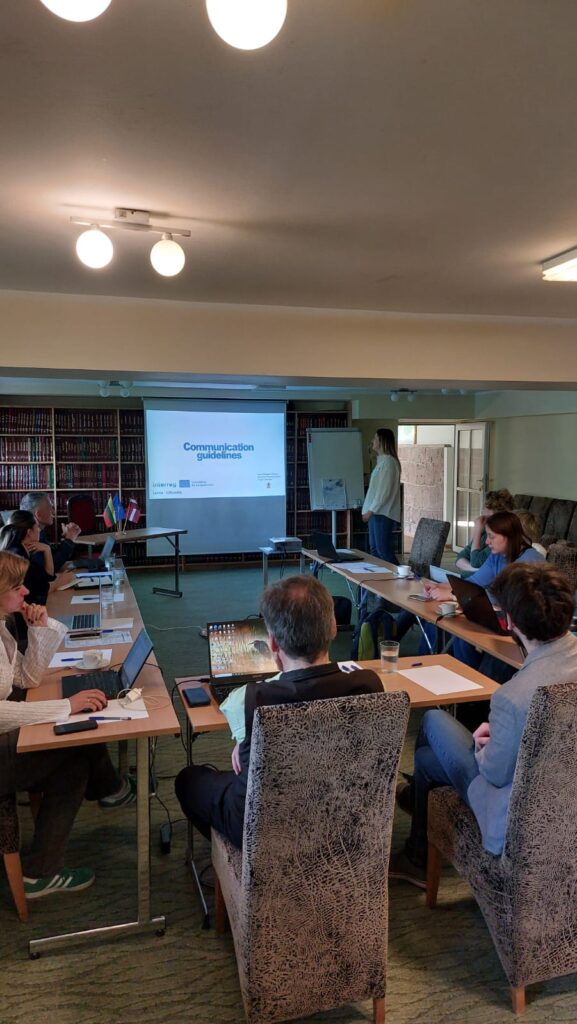
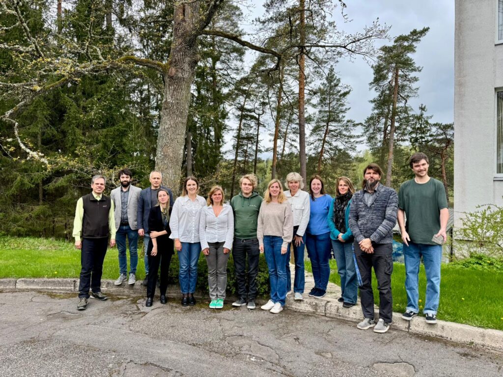
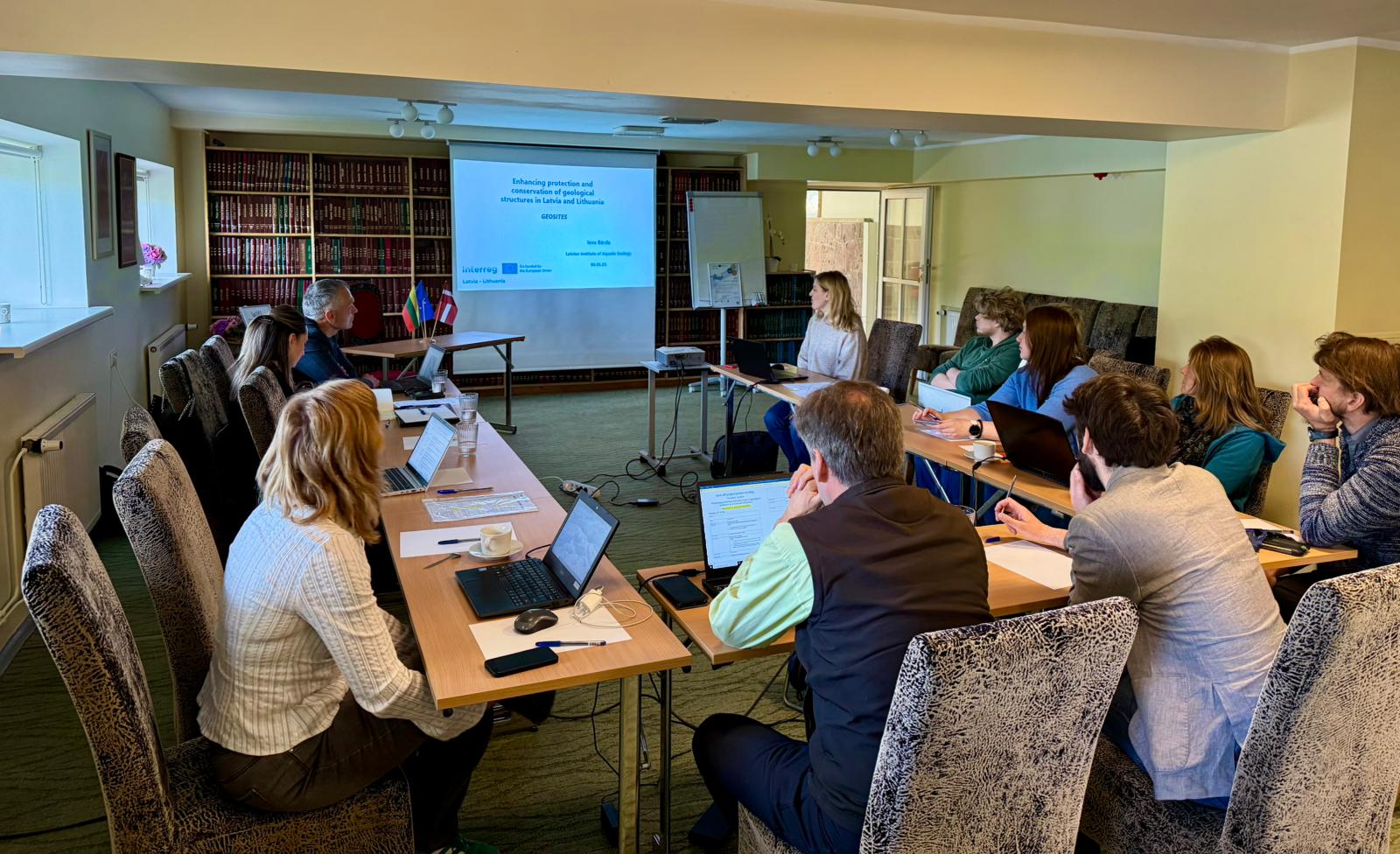
On the 6th of May 2025, the kick-off meeting of the Interreg VI-A Latvia–Lithuania Programme 2021-2027 project GEOSITES – “Enhancing protection and conservation of geological structures in Latvia and Lithuania” – took place at “Valguma pasaule” in Smārde parish, Latvia. The event brought together project partners from the Latvian Institute of Aquatic Ecology (LIAE), Kurzeme Planning Region (KPR), and the Directorate of Žemaitija National Park (ŽNPD) to initiate collaborative work on safeguarding geological heritage across both countries.
The meeting opened with welcoming remarks and an overview of the project’s aims and expected outcomes. The GEOSITES project addresses the growing challenges in managing both terrestrial and underwater geological sites, especially as public access to previously remote areas increases. The project will carry out underwater geological research in Alki Bank in the Baltic Sea and Lake Plateliai in Lithuania, as well as compile and categorise terrestrial geosites in Kurzeme and Žemaitija regions.
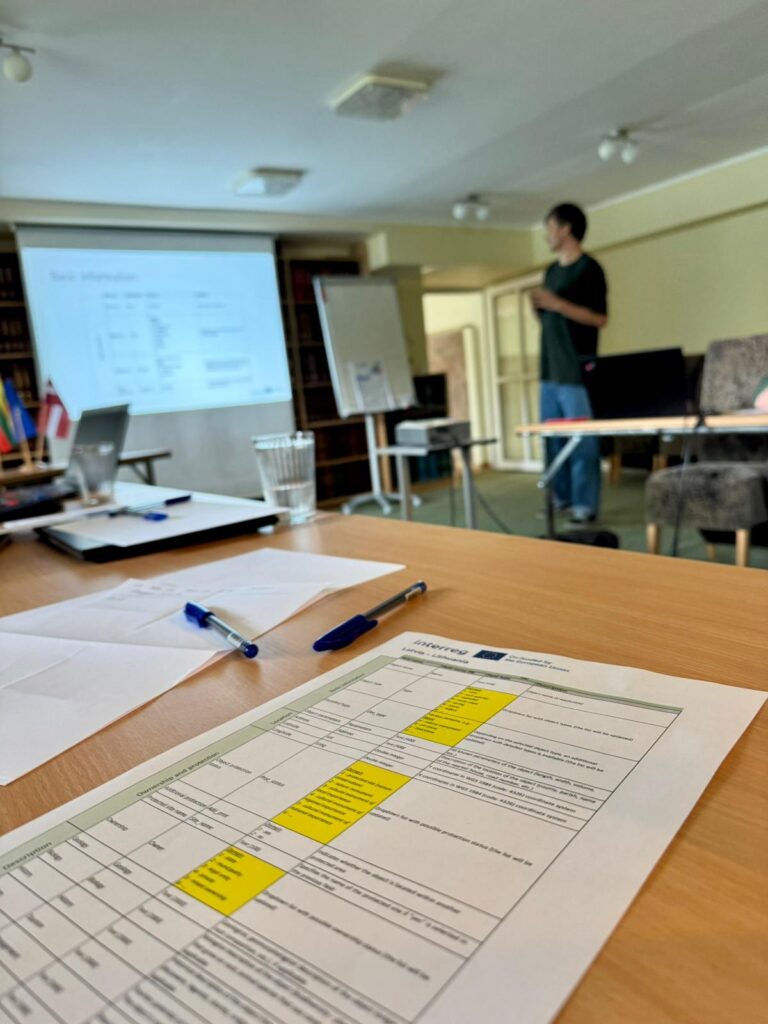
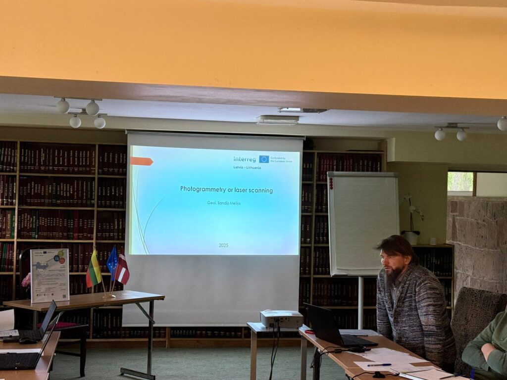
A key session focused on the structure of the geosite database and how geological features can be accurately and intuitively represented through physical and digital 3D models. These tools will serve as a foundation for creating an interactive map to support regional and local authorities’ decision-making. To inform the development of these educational models, a representative from the Liepāja Municipal Education Department Science and Education Innovation Centre (ZIIC) also participated in the meeting. As one of the 3D models will be exhibited at the Nature House (Dabas māja) in Liepāja, the project team recognised the importance of gathering ZIIC’s insights on the model’s educational content and thematic focus.
Discussions also explored best practices, including the planned exchange visit to Finland to learn from Metsähallitus – Parks & Wildlife Finland.
Educational and public outreach activities form another vital component of the project. Partners discussed the development of educational showcase models and public awareness campaigns that aim to increase understanding of the significance of geological heritage and the need for its protection. In addition, the project will generate management recommendations based on scientific assessments and modern mapping technologies, combining geomorphological and biological research methods. This integrated approach is expected to result in evidence-based, sustainable management strategies.
The GEOSITES project is co-financed by the Interreg VI-A Latvia–Lithuania Programme 2021–2027 and represents a strategic effort to strengthen cross-border collaboration in geological heritage conservation.
