The team of the Žemaitija National Park Directorate, while carrying out one of the activities of the “Geosites” project – the inventory of geological sites in Žemaitija – visited the Skuodas district. This district is often called “the land of stones,” as thousands of years ago glaciers generously scattered various boulders here, ranging from huge nature monuments protected by the state to smaller stones shrouded in legends. This unique boulder – strewn landscape, intertwined with cultural and natural heritage sites, reflects the oldest chapters in the history and natural evolution of Žemaitija. All the data recorded during the inventory will be entered into a GIS database and further updated to create a detailed interactive map.
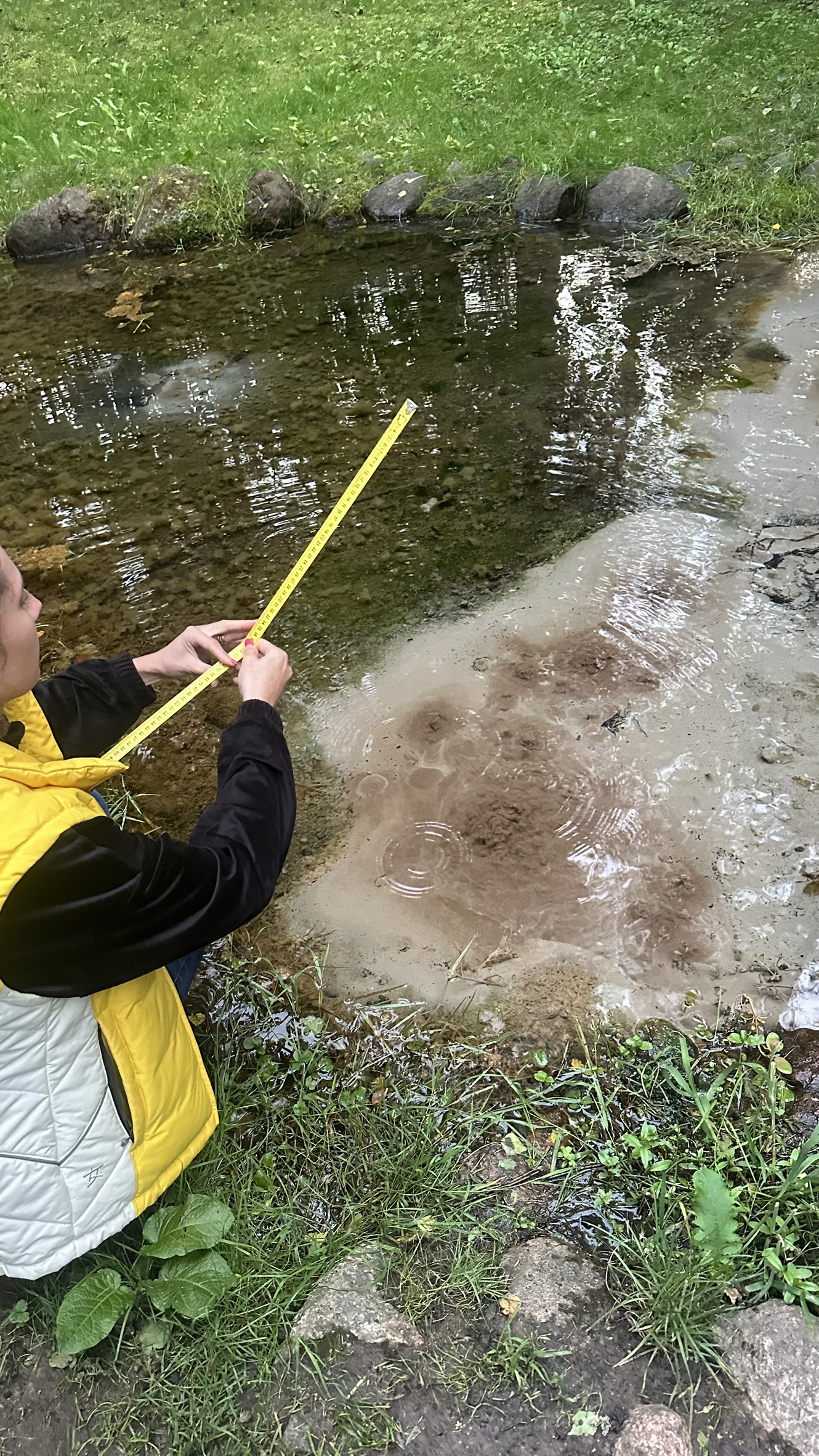
During the field inventory, we refined GPS coordinates, measured dimensions, documented surface damage, recorded the geometry of cup – shaped depressions, took photographic records, and, at the Truikinai Spring – at the Šmita Source – observed water that seemed to “breathe” with bubbles. Using a measuring tape, we measured their diameters in centimeters and noted that the bubbles instantly changed size and drifted to other locations – the pulse of the spring constantly drawing a new pattern on the water’s surface.
The following geological sites were surveyed:
- Paparčiai Stone “Saddle” – a geological natural heritage site, a municipality-protected boulder in Paparčiai village, Barstyčiai eldership. Dimensions: width – 2.1 m, length – 2.6 m, height – 1.4 m.
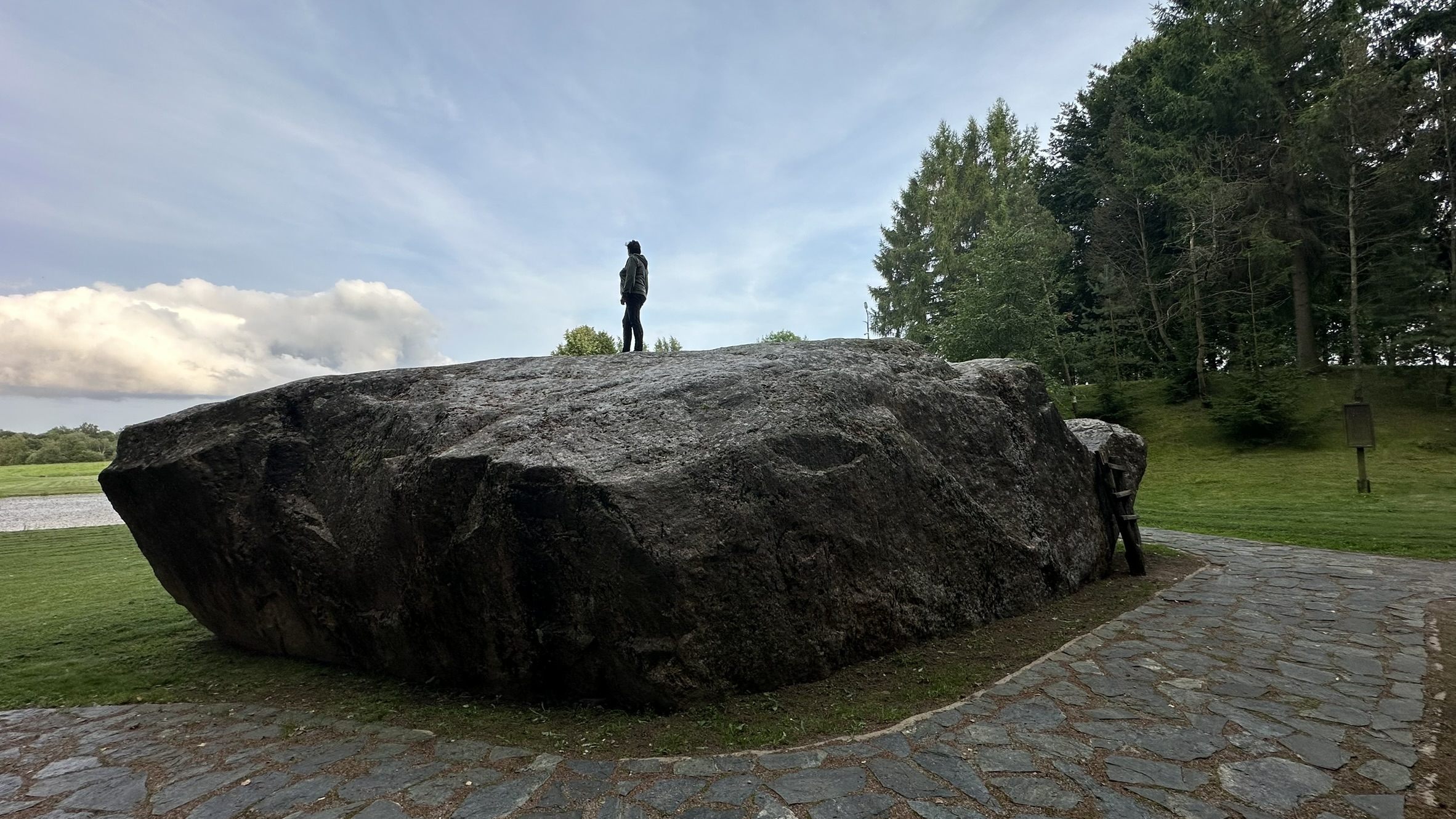
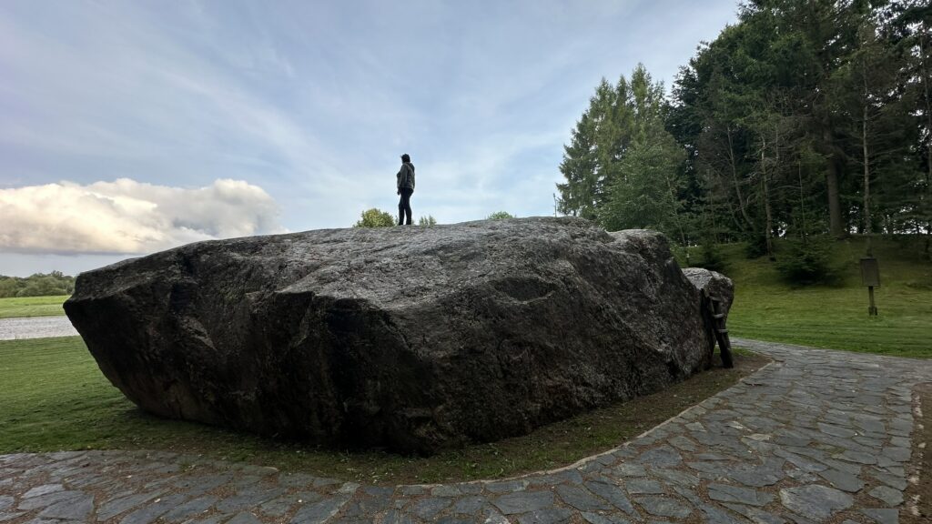
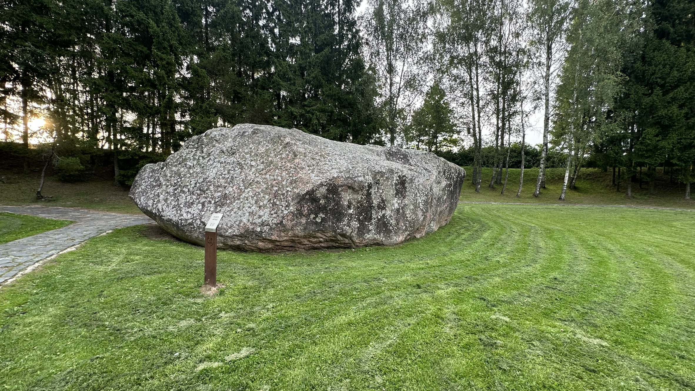
- Barstyčiai (Puokė) Stone – a state-protected natural heritage site, the largest boulder in Lithuania. Dimensions: width – 7.53 m, length – 13.25 m, height – 3.6 m.
- Truikinai Spring (Šmita’s Spring) – a hydrogeological natural heritage site and natural monument. The spring pool forms a small oval pond: width – 4.5 m, length – 6 m, sandy bottom. Located on the border between Truikinai and Daujotai villages, Aleksandrija eldership.
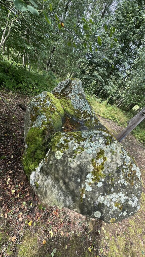
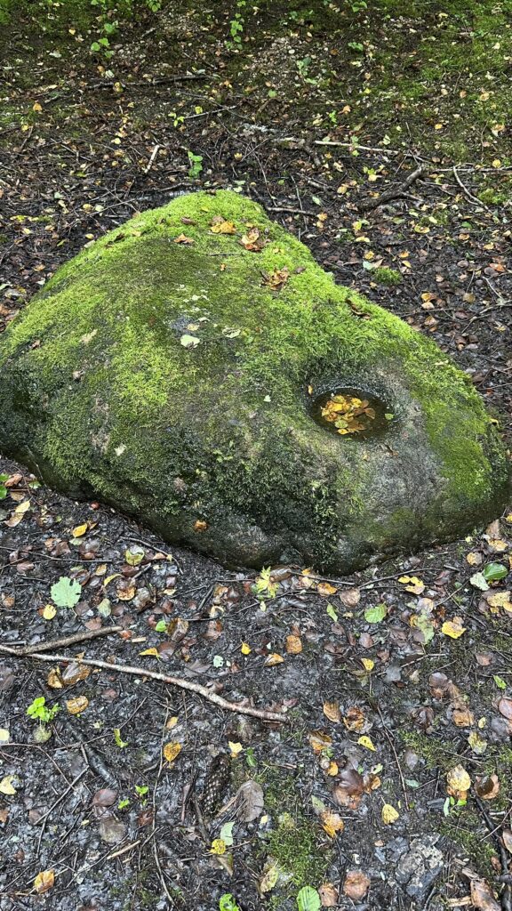
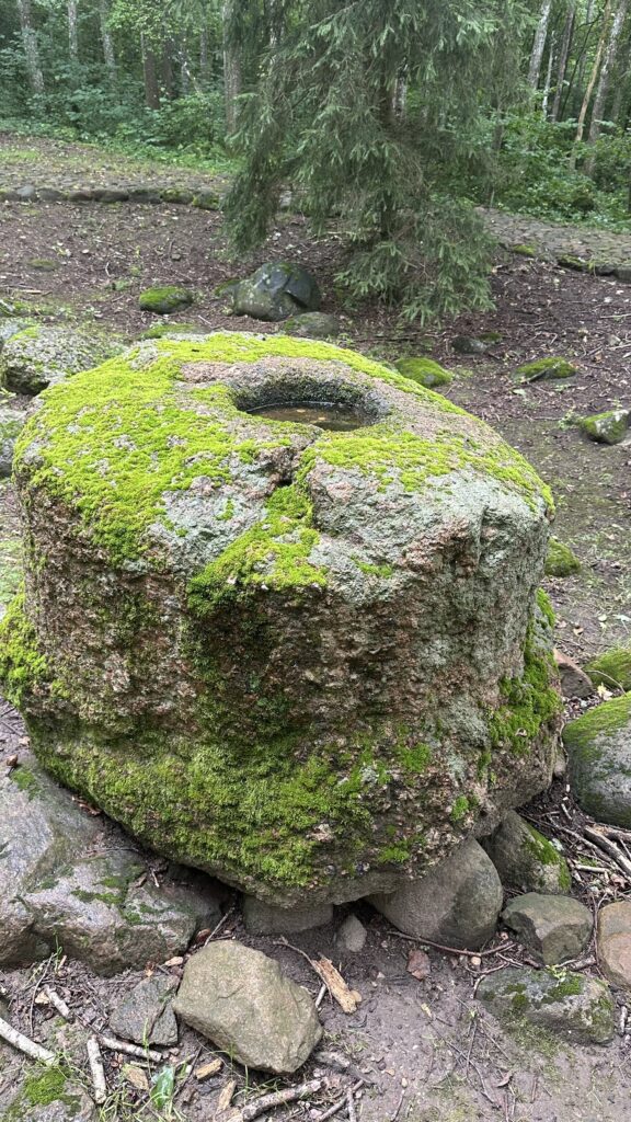
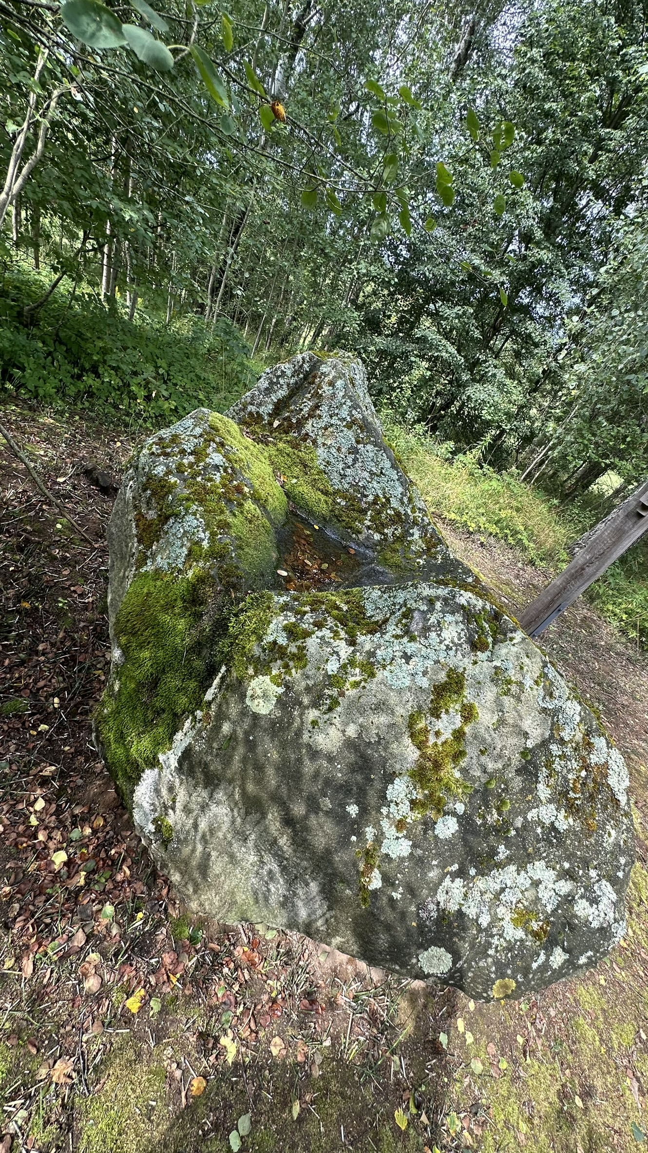
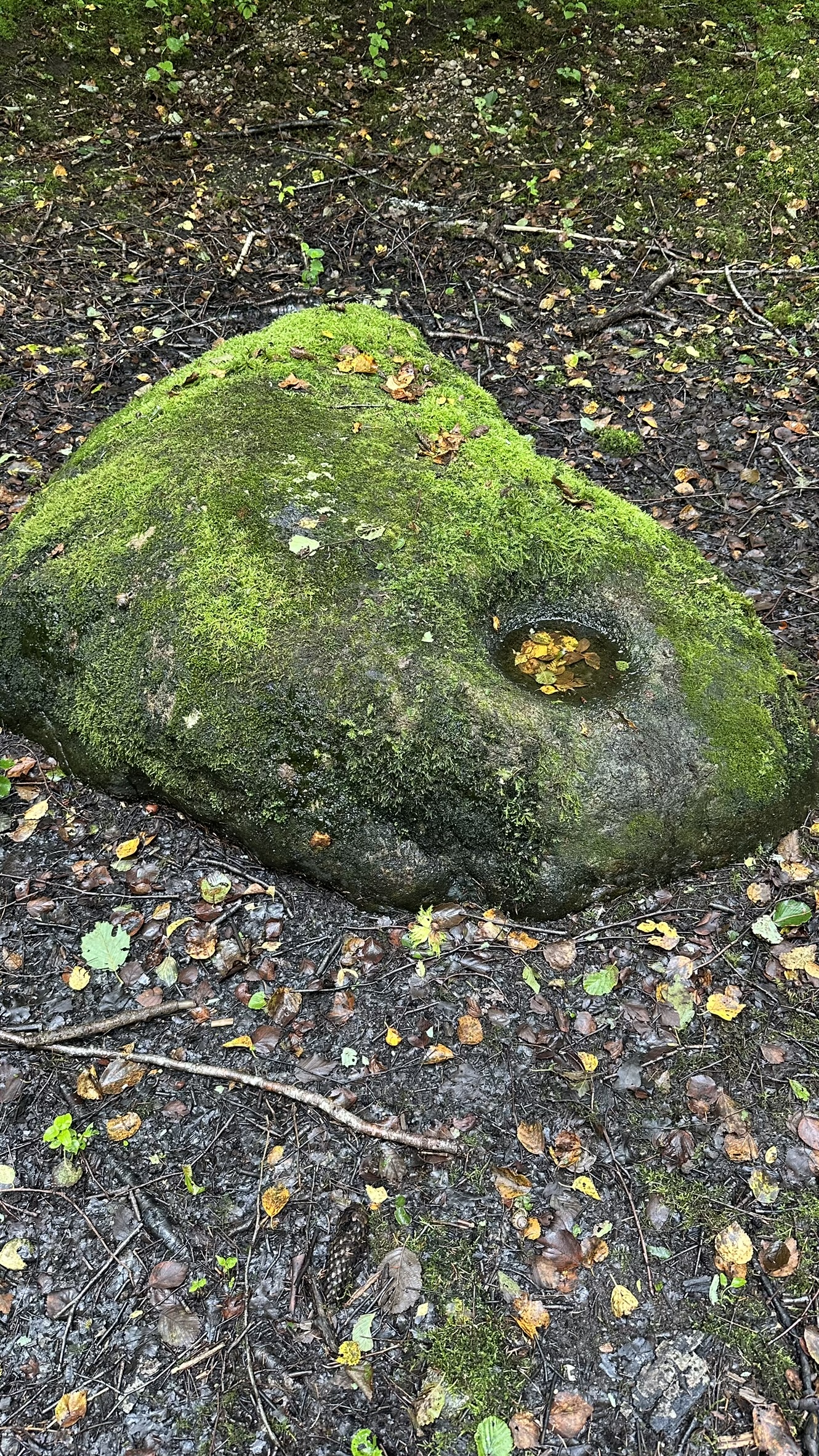
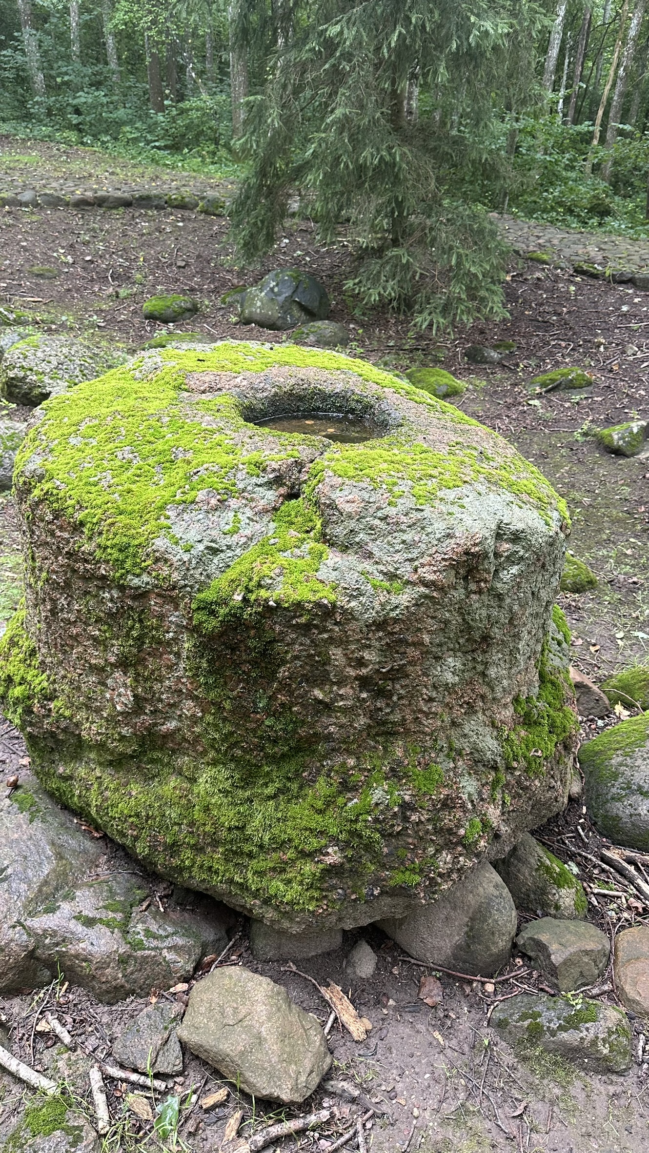
- Apuolė Stone with cup-marks and inscriptions – a state-protected cultural heritage site and archaeological monument near Apuolė Hillfort. Dimensions: width – 2.3 m, length – 2.3 m, height – 2.8 m, with 24 cup-marks ranging from 3 cm to 9 cm in diameter.
- Apuolė Hillfort – a cultural heritage site and archaeological monument, one of the oldest and largest settlements in present-day Lithuania mentioned in historical sources (AD 853). Located in Apuolė village.
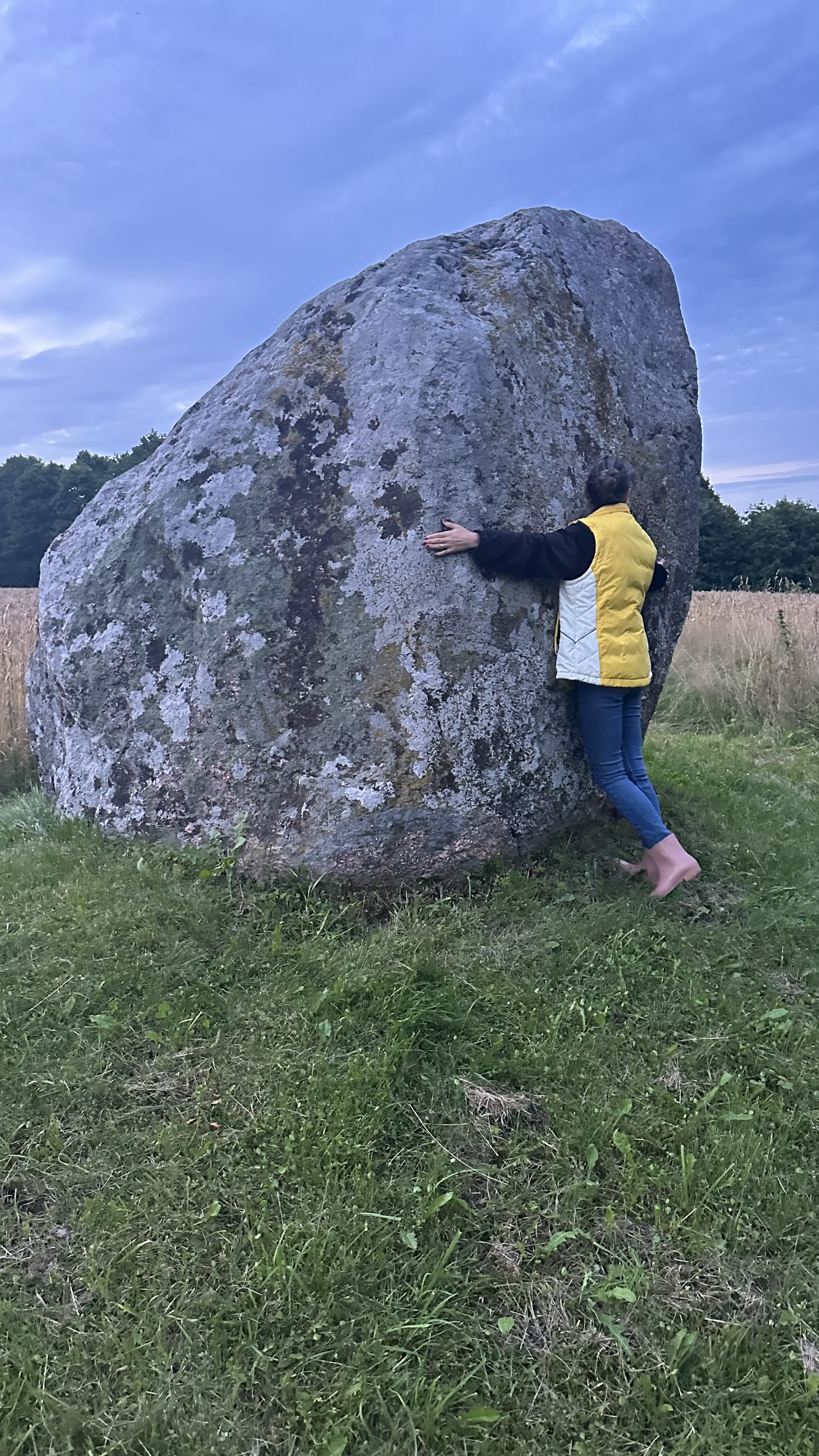
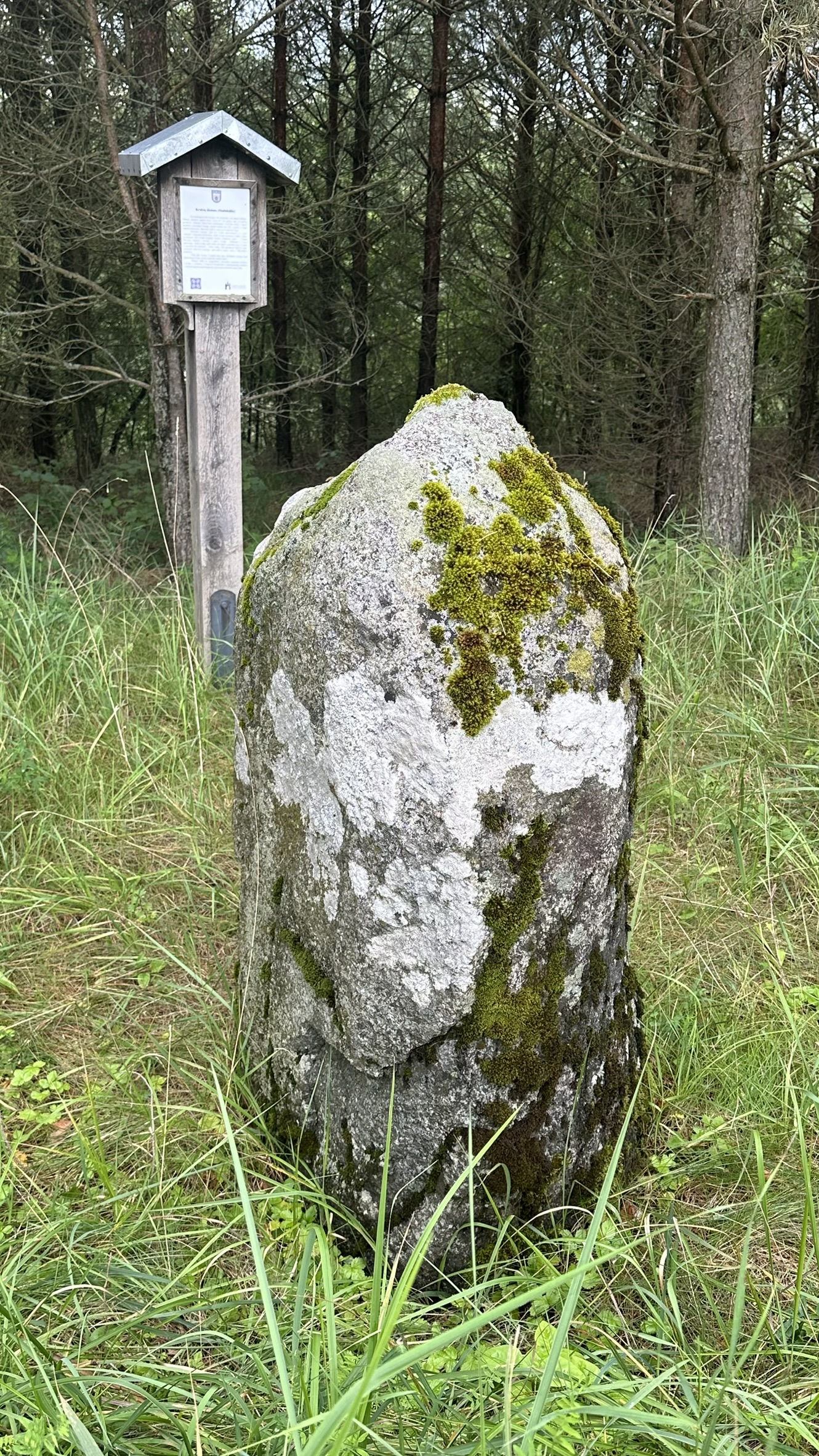
- “Stabakūlis” Stone (Idol Stone) – an archaeological and natural monument, a mythological stone associated with legends and traditions. Dimensions: width – 40 cm, length – 80 cm, height – 1 m. Located in Krakiai village, Mosėdis eldership.
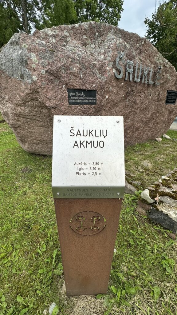
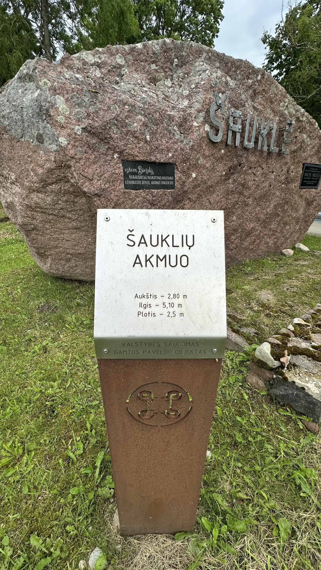
- Šaukliai Stone – a large boulder, a state-protected geological natural heritage site. Dimensions: width – 2.50 m, length – 5.10 m, height – 2.80 m. Located in Šaukliai village, Mosėdis eldership.
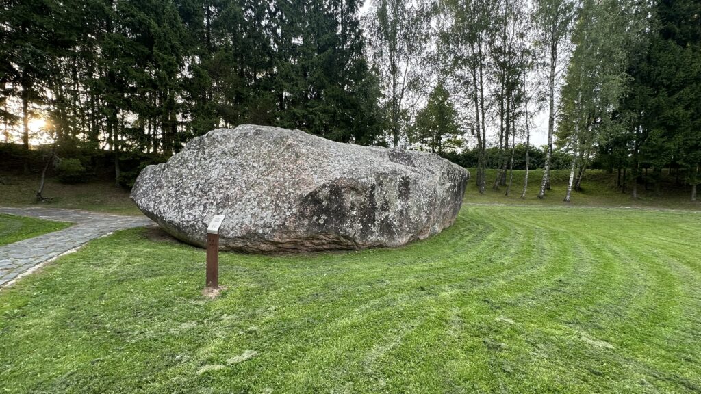
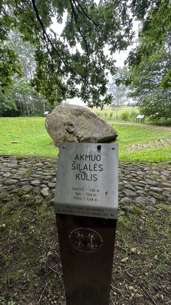
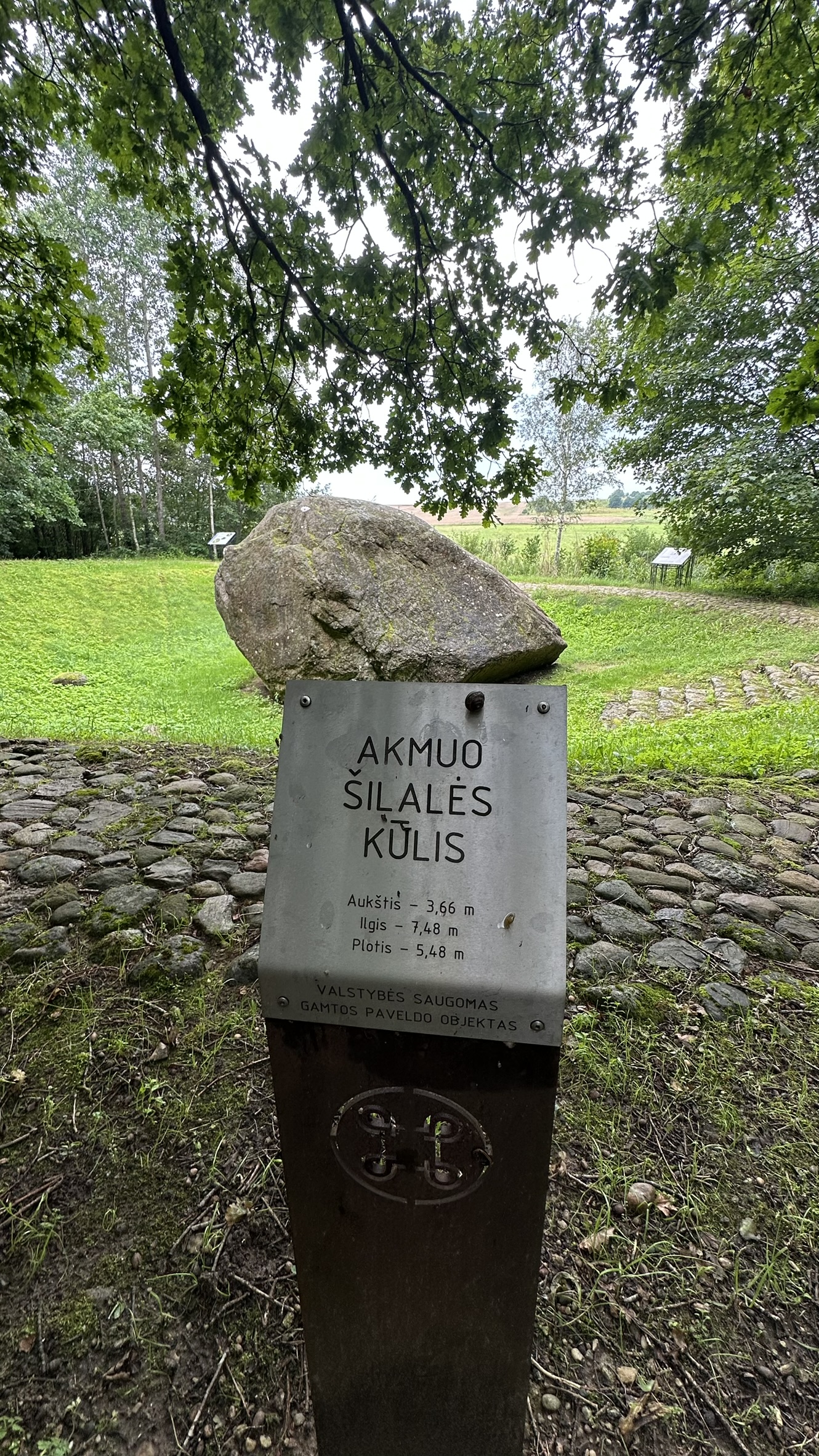
- Šilalė Boulder (Great Boulder) – a state-protected cultural site, the 5th largest boulder in Lithuania. Dimensions: width – 5.4 m, length – 7.48 m, height – 3.66 m. Nearby are two ritual stones – Šilalė Stone with a cup-mark and Šilalė Second Stone with a cup-mark.
The project “Enhancing protection and conservation of geological structures in Latvia and Lithuania”, No. LL-00244, acronym “GEOSITES”, is a joint Latvian – Lithuanian initiative aimed at preserving and protecting the most valuable geological formations, both underwater and on land. The project foresees the inventory and categorisation of geological sites, as well as the improvement of their management methods.
One of the project’s objectives is to carry out an inventory of terrestrial geological sites in the Žemaitija region, based on a developed GIS database. Once the data is entered, an interactive map will be created, which will be useful for local communities and visitors alike – helping them discover natural and cultural heritage sites, as well as other places of interest.


