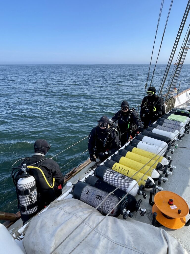
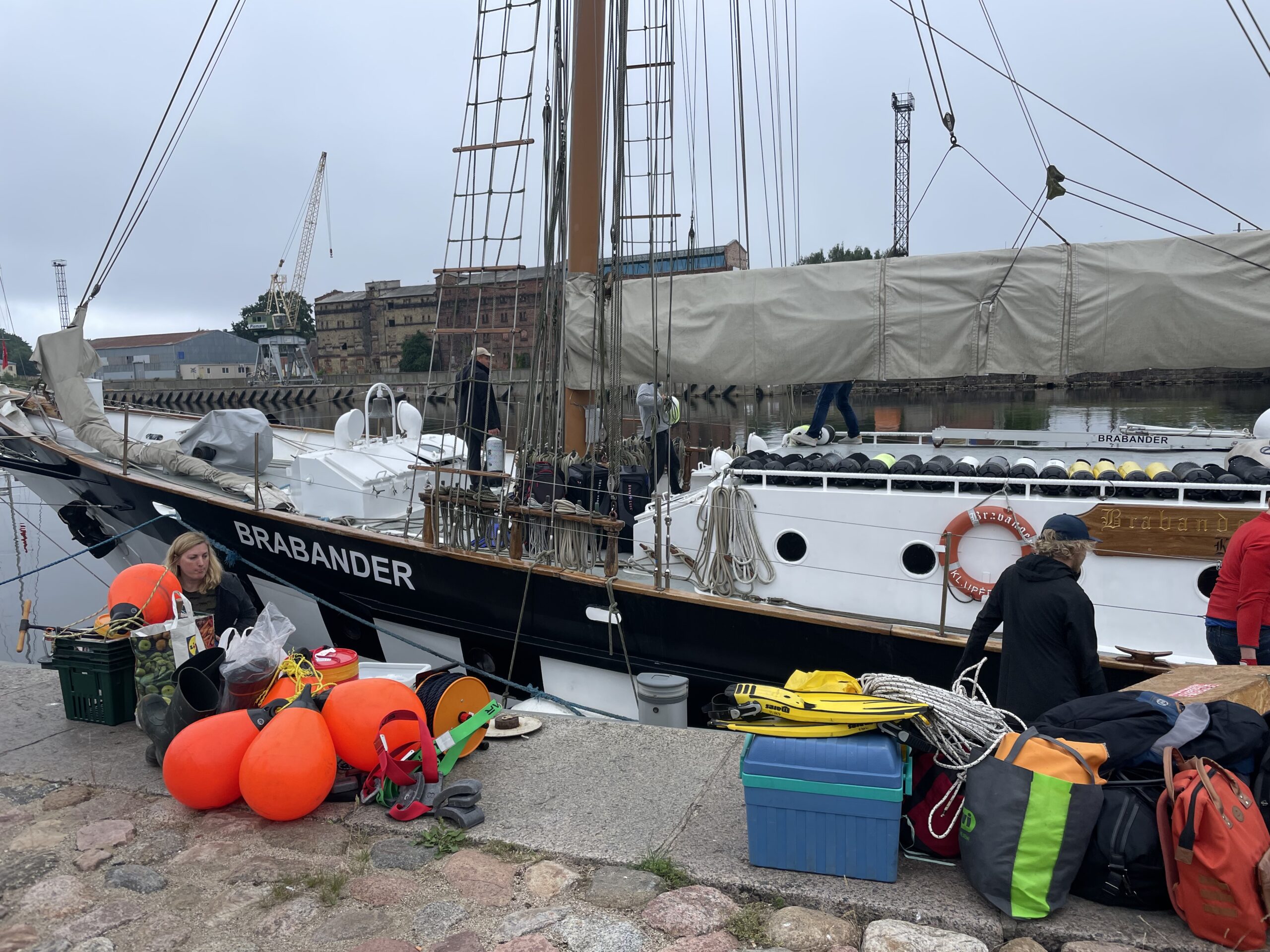
Between 16 and 19 July, a team of Latvian researchers embarked on a scientific expedition in the Baltic Sea aboard Klaipėda University’s research vessel Brabander. The fieldwork was carried out within the framework of the Geosites project, supported by the Interreg VI-A Latvia–Lithuania Programme 2021–2027. Scientists from the Latvian Institute of Aquatic Ecology participated for four days of intensive underwater research near Pāvilosta, in the open Baltic Sea, with the purpose of collecting data and samples that will contribute to a better understanding and protection of the region’s geological heritage.
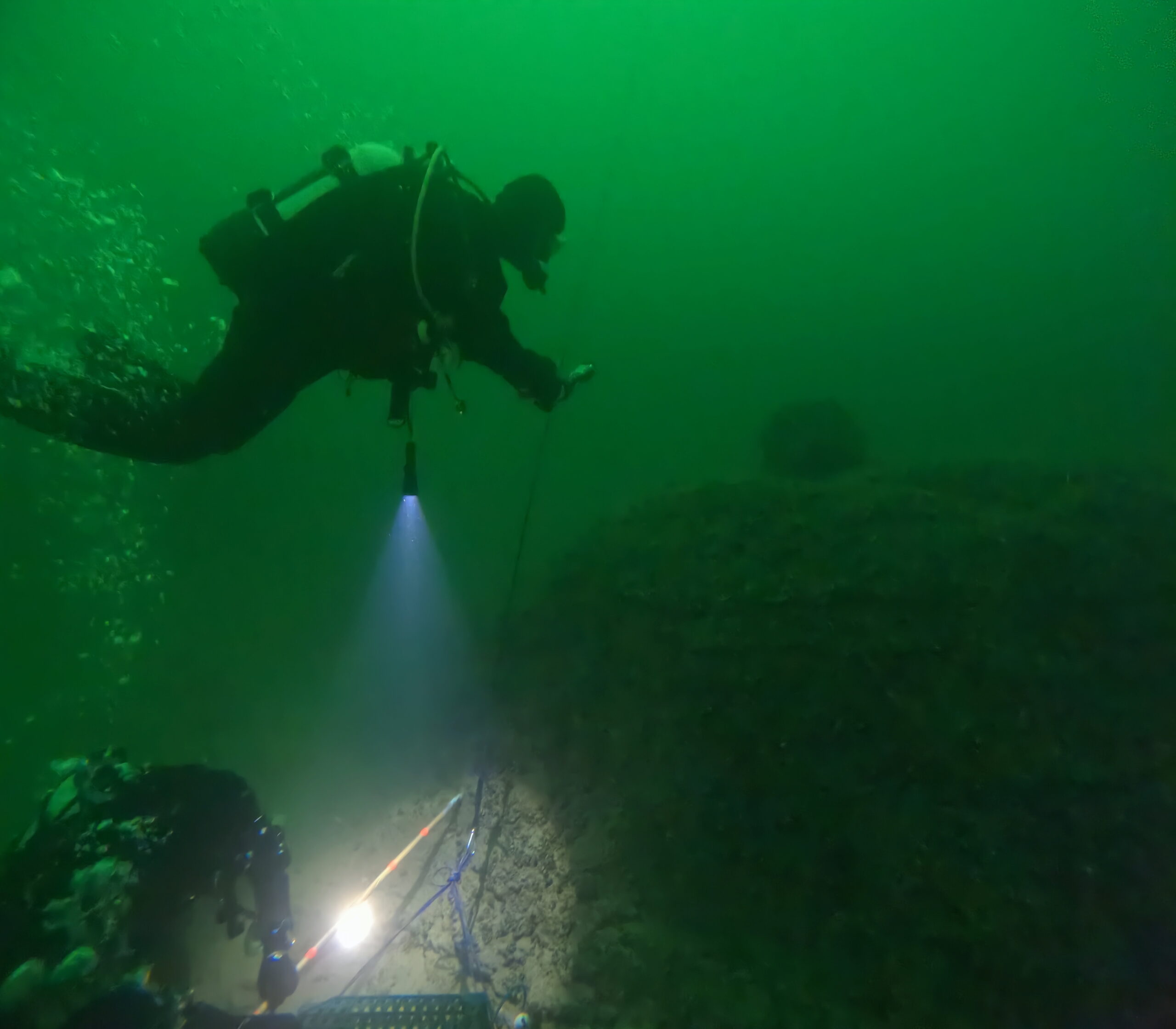
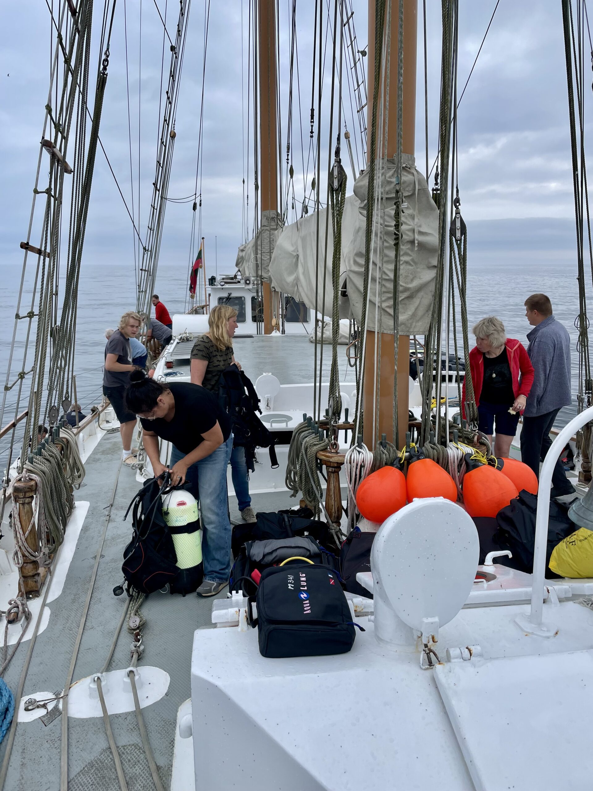
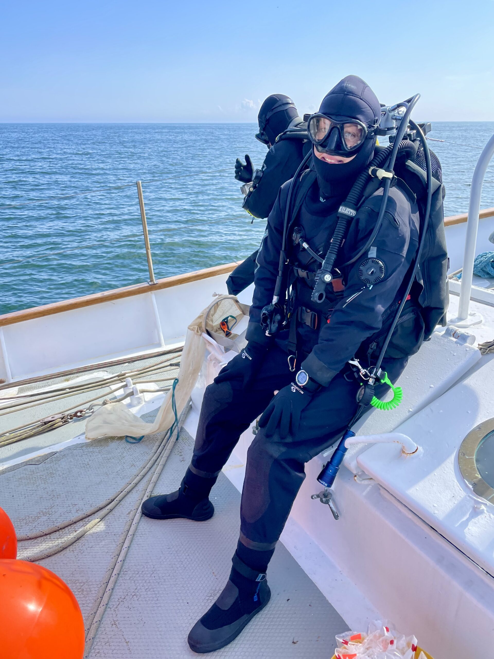
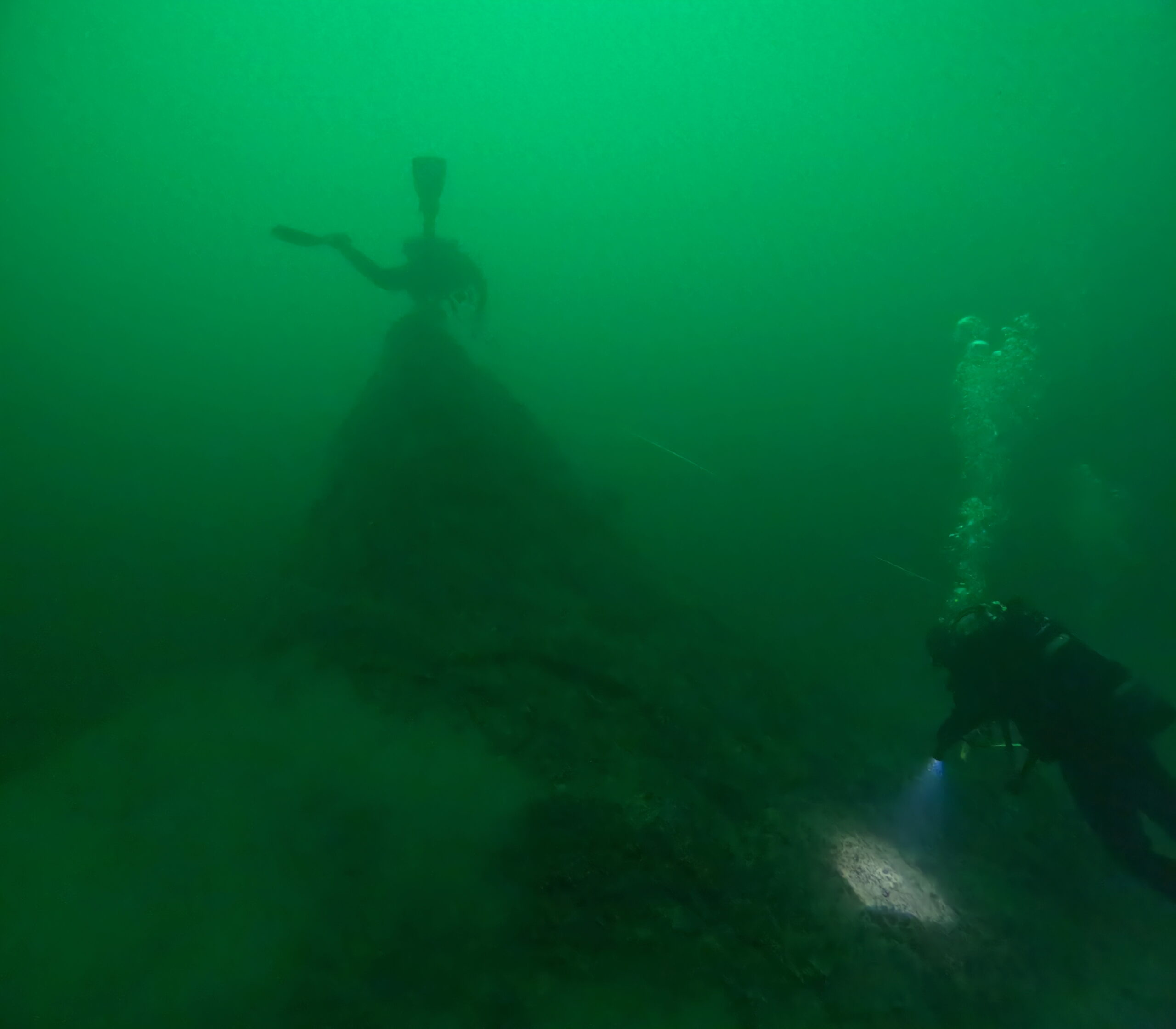
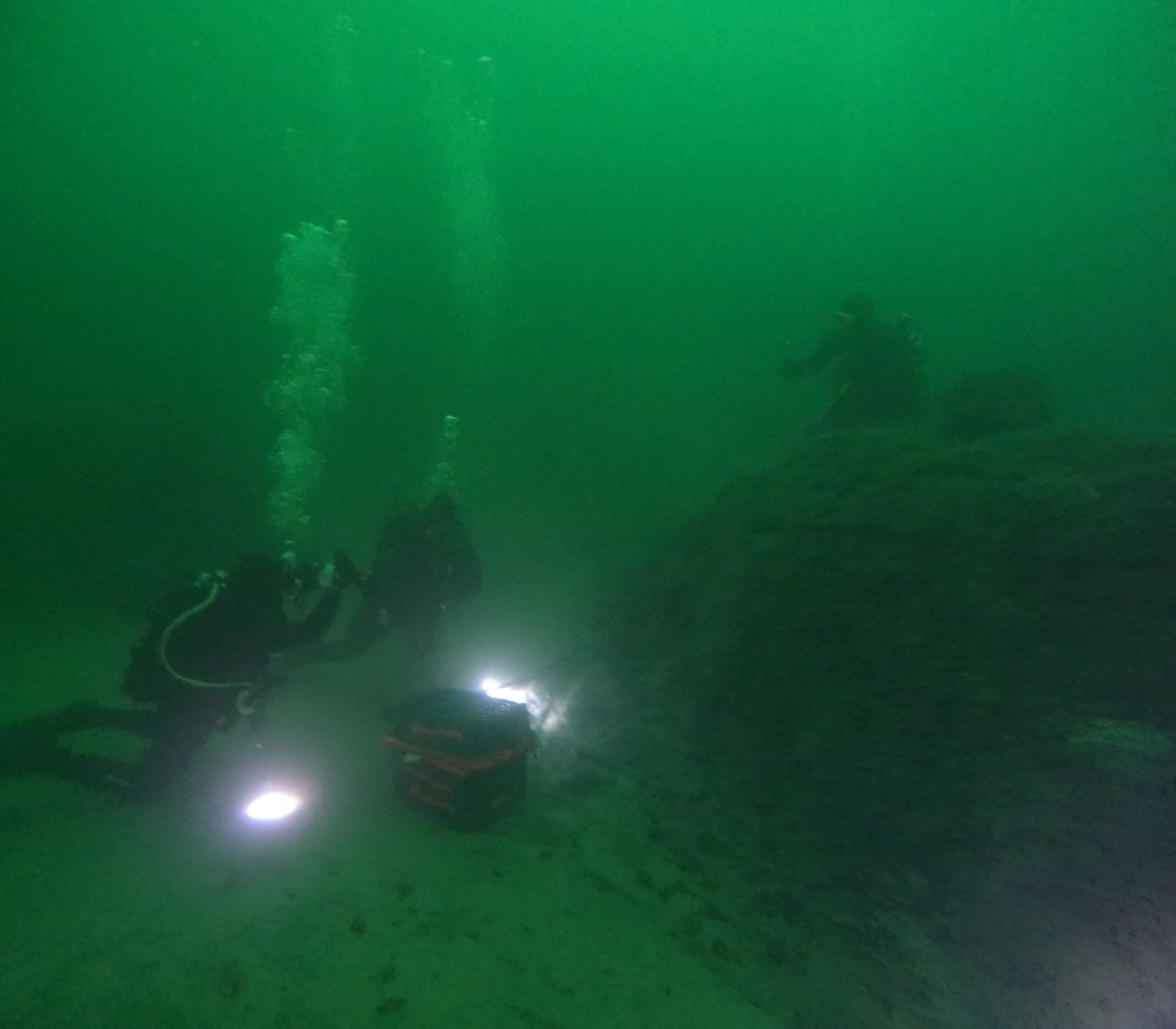
The research focused on a two-square-kilometre area of seabed, which was systematically investigated using a remotely operated underwater camera. The survey was carried out in a structured grid pattern of 100 by 100 meters, with the camera lowered at each point to record a three-minute video. These recordings allowed the scientists to examine the seabed’s geology and morphology while also identifying visible biological organisms. After completing the camera transects, the researchers selected three of the most promising locations for detailed diving operations, each at depths close to 30 meters. At these points, two dives were conducted at each site.
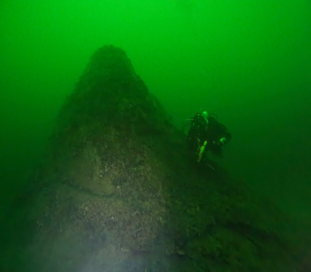
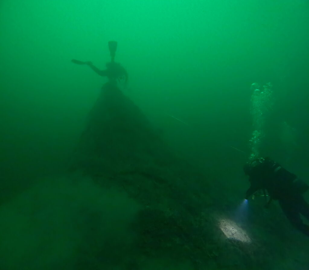
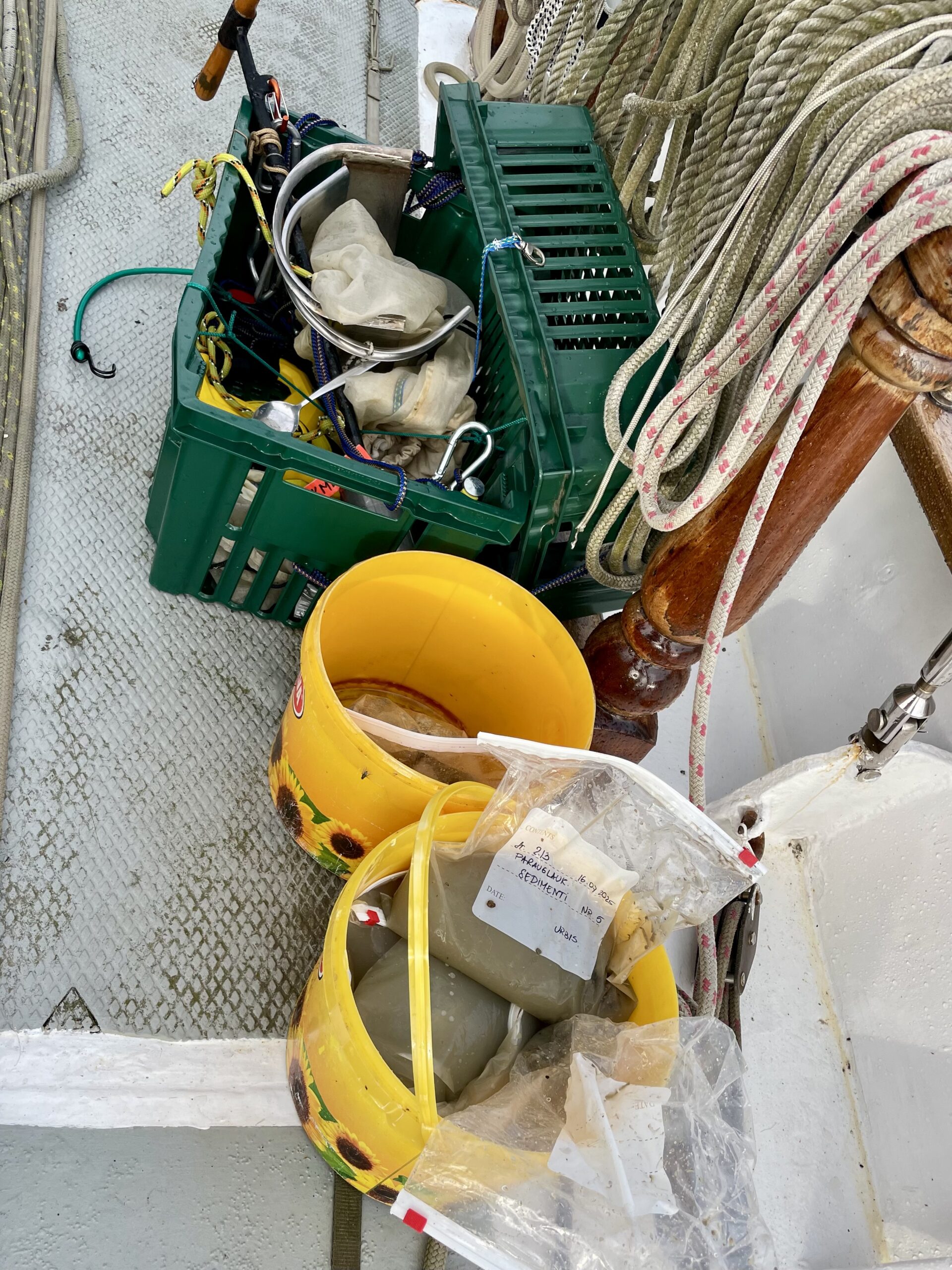
During the dives, scientists documented the underwater relief and landscape with professional video cameras, capturing material that will later be used for building models of seabed structures. They also collected geological samples using several methods: drilling into formations, breaking off rock fragments, and gathering smaller stones from the seabed. In parallel, biological samples were taken with the help of metalic frame with scraper and mesh bag, enabling researchers to collect organisms growing on moraine clay surfaces as well as on stones. At the same time, the divers carried out approximate measurements of the depth, height, and orientation of geomorphological objects. This work provided a first impression of the structures present in the area, which were found to extend predominantly in a north–south direction.
These detailed investigations form part of the broader objectives of the Geosites project, which seeks to improve the protection and preservation of geological heritage in the Baltic region. The project combines several strands of work: carrying out underwater surveys in the Baltic Sea, inventorying and categorizing geological sites on land, and developing new approaches to management, conservation, and education. By mapping and studying underwater geological formations both in Latvia’s Exclusive Economic Zone and in Lithuania, researchers hope to draw attention to the ecological and cultural value of geological features that usually remain hidden beneath the water’s surface.
A particularly important aspect of the project is its use of innovative research methods that combine geomorphological and biological studies. This integrated approach allows scientists not only to describe the shape, orientation, age and composition of seabed structures, but also to assess how these geological formations influence marine ecosystems and provide habitats for a wide variety of organisms. By applying modern mapping and monitoring technologies, the project ensures that the collected knowledge is reliable and evidence-based, offering a strong scientific foundation for future decision-making.
Although the expedition aboard the Brabander lasted only a few days, it provided an important opportunity to gather new and valuable material about the Baltic Sea’s geological heritage. The data collected, together with the geological and biological samples and the first measurements of underwater geomorphological features, form a solid basis for future analysis, modelling, and management. These results bring researchers closer to understanding the unique underwater landscapes of the Baltic and contribute to ensuring that its hidden geological treasures are properly documented, valued, and preserved for future generations.


